A 7,000-Year-Old Quarry Reveals Deep Aboriginal Knowledge of South Australia’s Riverland Stone
New research at Sugarloaf Hill near Overland Corner documents thousands of years of Aboriginal quarrying for silcrete and chert along the Murray River, linking stone procurement with mobility, skill and social networks.
Felix Arden ·
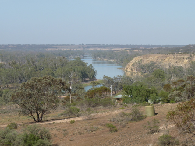
A low hill near the Murray River in South Australia has become a much older kind of archive. At Sugarloaf Hill, near Overland Corner in the Riverland region, archaeologists have documented Aboriginal quarrying for stone that reaches back about 7,000 years. The study, published in 2026 in *Archaeology in Oceania* by Craig Westell, Ian Moffat, Richard Fullagar, Amy Roberts and colleagues, focuses on silcrete and chert sources along the incised course of the Murray. These were not casual scatters of rock. They were known places where people selected, extracted and carried workable stone through a changing river landscape.
The research matters because quarries are often less visible to the public than rock art, burials or dramatic settlement sites, yet they can reveal the practical intelligence that held daily life together. A good stone source meant cutting edges, scrapers, points and tools that could be repaired, traded or carried. In a region where raw materials vary from outcrop to outcrop, knowing which stone would fracture predictably was a form of technical knowledge. Sugarloaf Hill helps show that this knowledge had depth in time and was embedded in relationships with Country, not merely in isolated tool-making episodes.
The paper’s mechanism is a combination of mapping, artefact recording, geomorphology and dating. Researchers examined quarry exposures and archaeological materials, then placed them within the history of the Murray River corridor. Silcrete and chert occur in the upper Riverland, where the river cuts through older deposits and exposes workable stone. By dating archaeological and landscape contexts, the team began to fill a chronological gap: not only where stone was available, but when people were using these sources and how quarrying fitted into wider occupation of the southwestern Murray-Darling Basin.
That wider picture is important. The Murray River was not just a line of water on a map. It linked wetlands, cliffs, floodplains, plant foods, fish, travel routes and meeting places. Stone from a dependable quarry could move with people and through social networks, connecting groups across distance. The study therefore treats Sugarloaf Hill as part of a system: geology offered particular materials; skilled people recognised and worked them; tools then travelled into camps, tasks and exchanges. A quarry can be quiet, but it records decisions made again and again across generations.
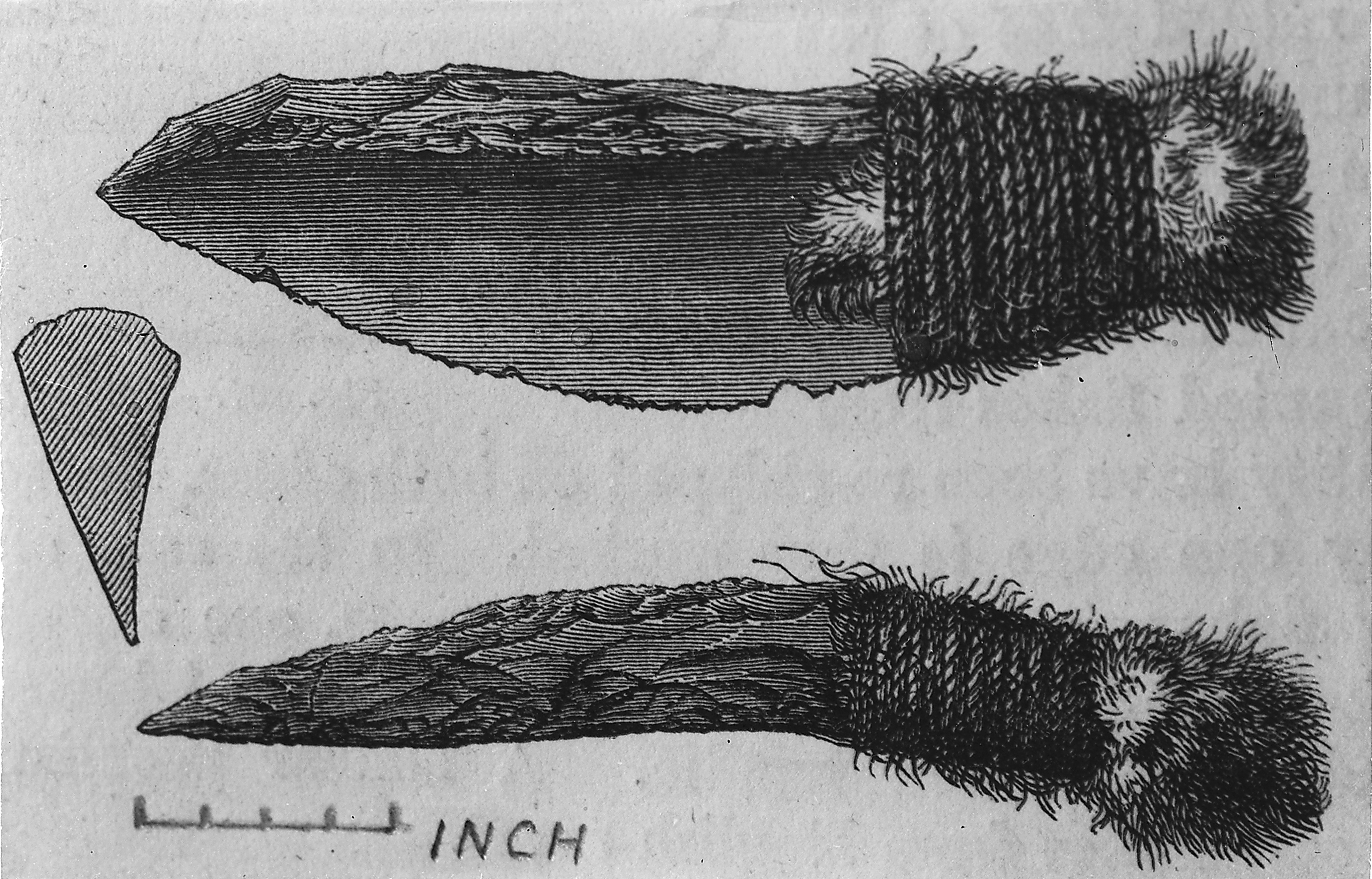
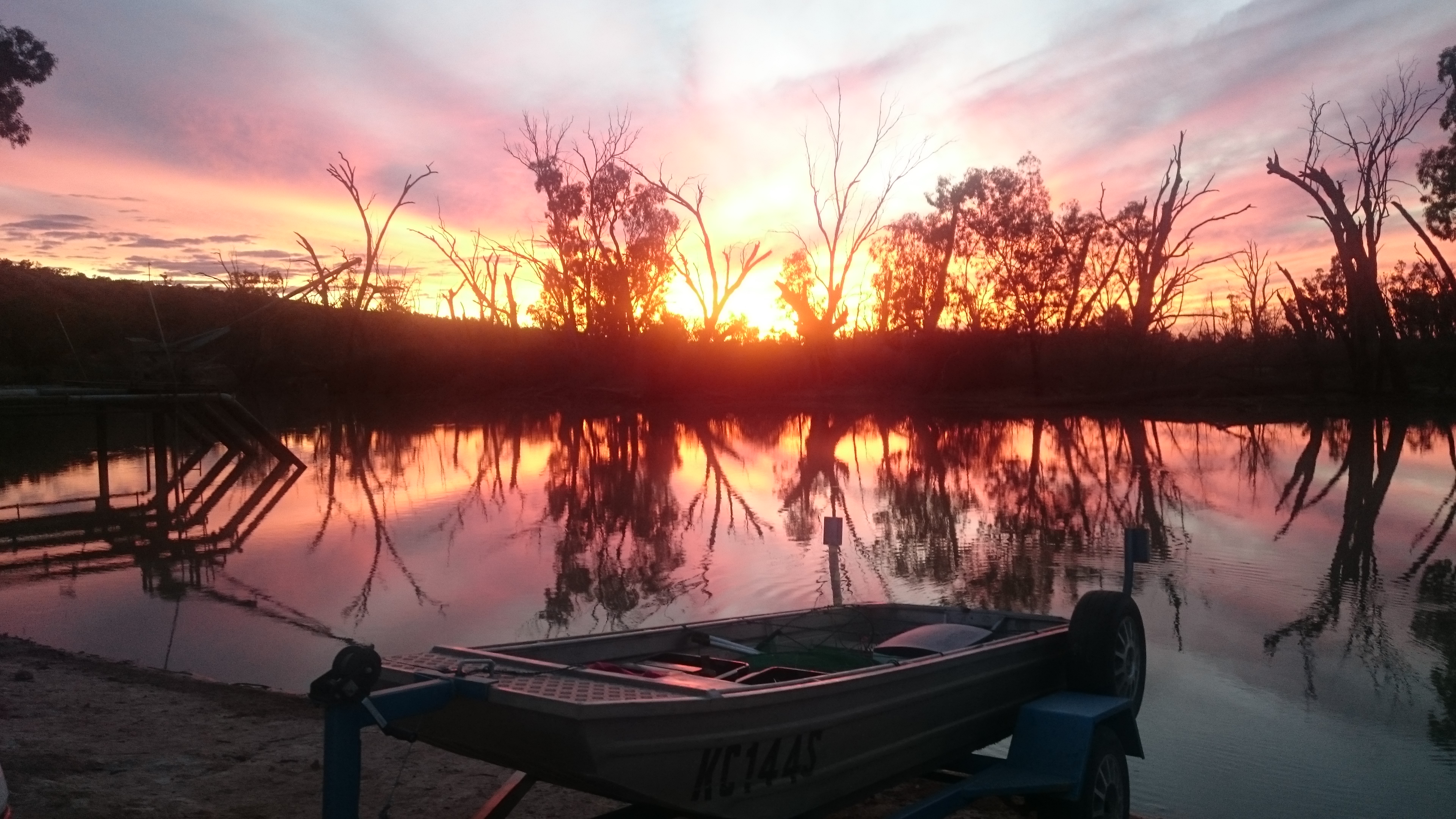
There are limits to say clearly. The freely available images used here show the Overland Corner and Riverland setting and a comparative Aboriginal stone tool, not the protected Sugarloaf Hill quarry itself. Archaeological places can be culturally sensitive, and exact-site imagery is not always appropriate or safely licensed for public reuse. The 7,000-year figure also marks dated evidence for quarry use, not the first possible human presence in the region. The authors frame their work as filling a regional chronological gap and contributing to debates about Aboriginal occupation along the Murray, rather than closing every question.
The most valuable part of the story is how ordinary material becomes historical evidence. A broken flake, a worked face of stone and the position of an outcrop can show planning, repeated return and careful judgement. Sugarloaf Hill also highlights the importance of collaboration with Traditional Owner organisations such as the River Murray and Mallee Aboriginal Corporation, because archaeological interpretation is strongest when scientific methods meet living cultural responsibility. The result is not just an older date for a quarry. It is a clearer view of people who read stone, river and route together, sustaining knowledge in a landscape that still carries their history.