The “Absolutely Huge” Fiordland Black Coral Is Also a Map for Better Protection
The same 300–400-year-old Fiordland black coral can be read through a management lens: mapping where giant protected colonies grow helps divers, boaters and rangers avoid damage that would take centuries to replace.
Leo Sato ·
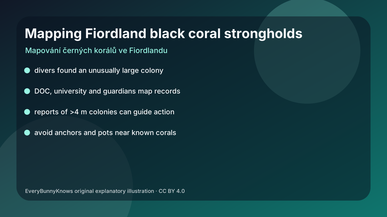
The “absolutely huge” black coral in Fiordland is the same astonishing animal that made headlines for its size, but it also tells a different story: conservation often begins with a map. The colony, roughly four metres tall and 4.5 metres wide, was found during work involving Te Herenga Waka Victoria University of Wellington, the Department of Conservation and the Fiordland Marine Guardians. Because black corals are protected in New Zealand and grow slowly, the practical question is not only how old the colony is. It is how many similar strongholds exist and whether people know where not to damage them.
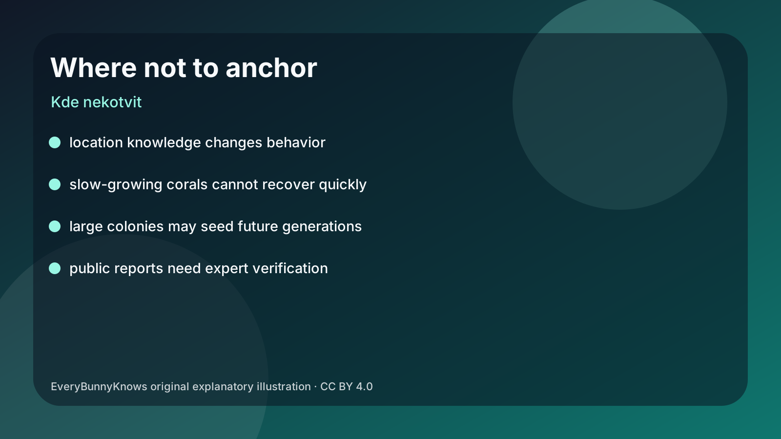
The mechanism is spatial protection. A fragile colony can be legally protected on paper, yet still be broken by an anchor, pot, line or careless contact if its position is unknown. Mapping turns a hidden animal into a management feature. Rangers can advise boaters, scientists can compare sites, and divers can report other colonies larger than four metres so specialists can judge how unusual the find really is.
This angle matters because large black corals are not just large individuals. They can be breeding stock, habitat structure and evidence that local conditions have been stable enough for centuries. A protected species whose living tissue looks pale but whose skeleton is dark may not be obvious to everyone underwater. Clear communication helps prevent accidental harm and keeps public excitement from becoming pressure on the site.
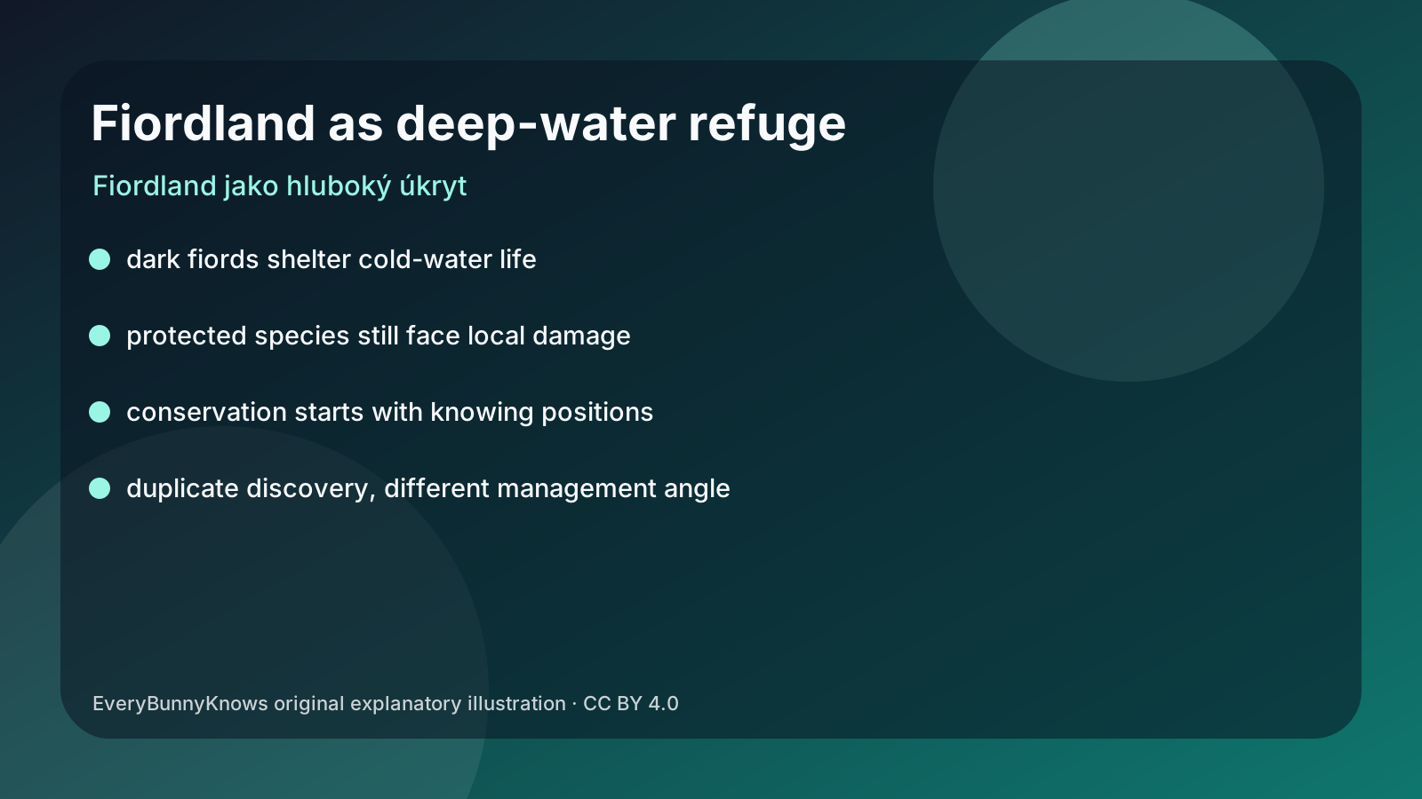
Fiordland adds a distinctive setting. Its steep fiords, shaded walls and cold water create places where deep-water organisms can be studied closer to shore than in many open-ocean settings. That access is useful, but it also means local decisions about anchoring, diving, fishing and reporting can have immediate effects. A colony that began growing centuries ago can be lost in a moment if slow life is treated as scenery.
The limits should be explicit. Public reports are useful only when verified by experts, and precise locations may need to be handled carefully to avoid attracting too much attention. The discovery does not provide a full population survey, a climate-risk forecast or proof that all protected corals are safe. It is a starting point for distribution mapping and for asking where large colonies are concentrated.
This sibling article therefore uses the same discovery differently from an age-focused story. Instead of centring the wonder of a 300–400-year-old organism, it centres the management chain: find, verify, map, communicate and avoid damage. That chain is modest, but it is exactly how many marine protections become real.
The hopeful part is that some conservation actions are simple once the evidence exists. If rangers know the locations, if boaters understand why they matter, and if scientists keep building the distribution map, a centuries-old coral does not have to rely on luck. It can become part of a visible network of places where people choose to let slow-growing life continue.
One further point keeps the story practical: a conservation result is not made by one image or one measurement alone. It needs repeated monitoring, local context, management cooperation and a clear account of what remains uncertain. That combination is what turns an interesting finding into evidence people can use for the next decision and keeps a specific study from becoming a vague nature fable.