Baťa Canal: the Waterway Linking Moravia and Slovakia
Built in the 1930s for lignite transport and irrigation, the Baťa Canal has become a slow cross-border route where Moravian industry, river engineering and recreation meet.
Nina Kaplan ·

The Baťa Canal is a modest-looking waterway with an unusually layered story. Between Otrokovice and the lower Morava region, engineers in the 1930s cut, adapted and connected river channels so barges could carry lignite to Baťa’s factories and so dry fields could be irrigated more reliably. The result was never a grand sea-to-sea canal. It was a practical industrial landscape: locks, weirs, towpaths, loading points and quiet stretches of water stitched into Moravia’s river corridor.
That practicality is what makes the canal worth revisiting. Built mainly between 1934 and 1938, the route linked company logistics with public water management at a time when Czechoslovakia was still young, industrial ambition was strong and rivers were expected to serve transport, agriculture and flood control at once. Lignite from the mines near Ratíškovice could be moved toward Otrokovice, while the same system helped manage water in a flat and fertile part of southeastern Moravia.
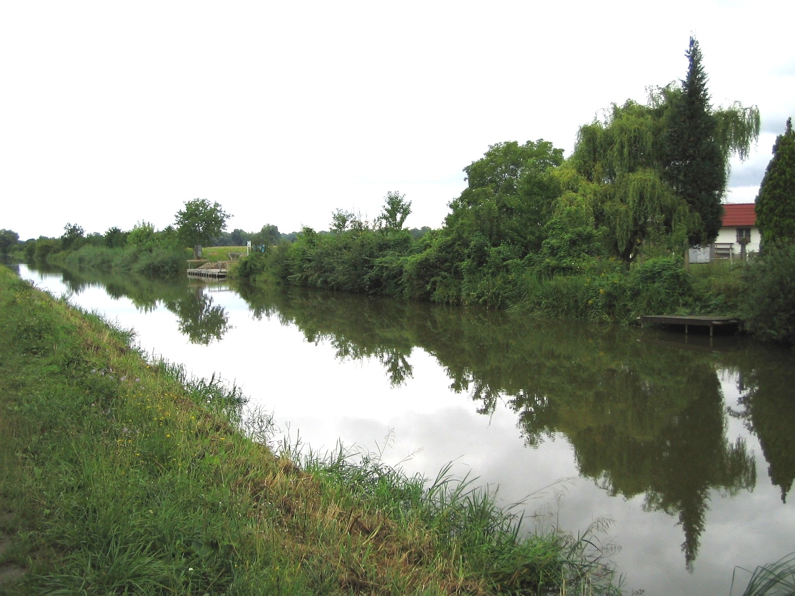
The mechanism was careful rather than spectacular. Instead of blasting one continuous trench across the country, designers used the Morava River where they could, added artificial canal sections where they had to, and controlled levels with locks and small hydraulic structures. A skipper moving along the canal was therefore passing through a hybrid geography: part river, part machine, part company supply chain, part agricultural improvement scheme.
The canal’s name carries the Baťa company’s wider philosophy of organized modernity. Zlín and Otrokovice were not only factory towns; they were experiments in housing, transport, education and production. The waterway fit that world because it treated geography as something that could be made more useful without being erased. A lowland river, a mining district, a factory complex and farm fields became parts of one designed system.
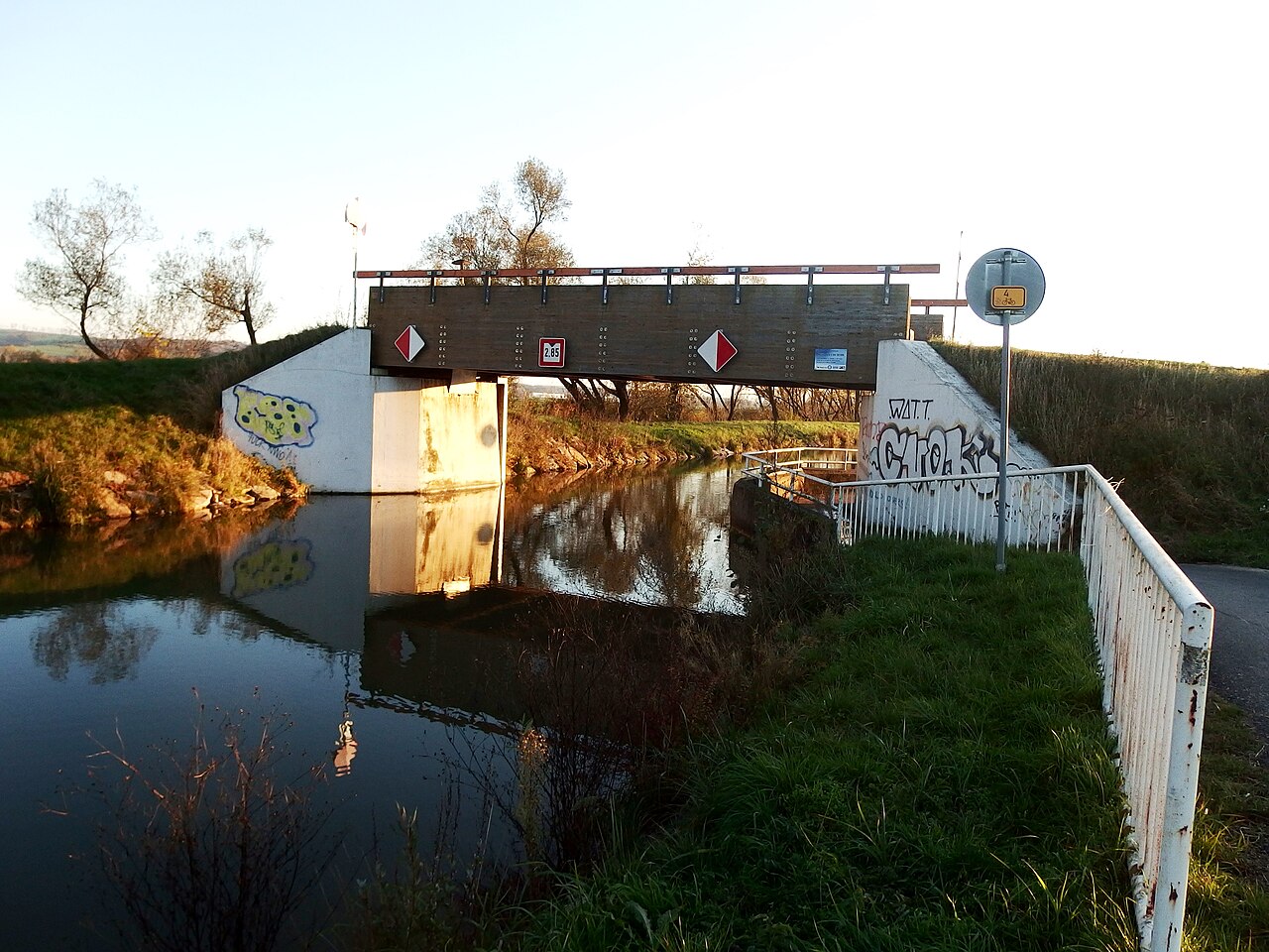
Its first life was interrupted by war, changing transport economics and later decades in which road and rail mattered more than small inland barges. That limit matters. The Baťa Canal did not become the decisive freight artery its planners imagined, and nostalgia can easily make industrial projects look cleaner than they were. Lignite was a fossil fuel, river engineering altered habitats, and the canal’s usefulness depended on a particular industrial economy.
Its second life is different. Restored locks, marinas, rental boats, cycle routes and riverside towns have turned the canal into a slow tourism corridor shared by Czech and Slovak visitors. The recent reopening and extension of navigation toward Hodonín and Rohatec gives the old route a new cross-border meaning. Instead of carrying coal for a factory, it now carries people through a landscape where industry, water management and recreation can be read together.
For readers, the Baťa Canal is a useful reminder that geography is often made in increments. A lock chamber, a towpath, a bridge and a bend in the Morava may seem small, but together they show how societies negotiate with water. The hopeful lesson is not that every industrial plan ages gracefully. It is that infrastructure can gain a second public value when communities repair it, explain it honestly and use it at a human speed.