The Cities Cooling Streets with Trees and Smart Maps
Urban heat maps, tree inventories and street-level sensors are helping cities place shade where asphalt, poverty, bus stops and health risks overlap — if planting is matched with soil, water and long-term care.
Klára Novák ·
On a summer afternoon, two streets in the same city can feel like different climates. One has asphalt, parked cars, bare walls and a bus stop with no shade. The other has mature trees, lighter surfaces, soil that can hold water and shopfronts set back from the sun. Smart urban cooling begins by treating that difference as measurable geography, not as a matter of taste.
Cities now combine satellite land-surface temperature, mobile heat campaigns, fixed sensors, tree-canopy inventories and demographic data to decide where shade will reduce the most risk. NASA instruments such as ECOSTRESS have shown how sharply surface temperatures can vary across metropolitan areas. NOAA-supported urban heat mapping campaigns send residents through neighbourhoods with sensors mounted on cars or bicycles, producing block-level maps of heat exposure. Local tree inventories add another layer: species, trunk size, canopy spread, condition, conflicts with wires, available soil and likely survival.
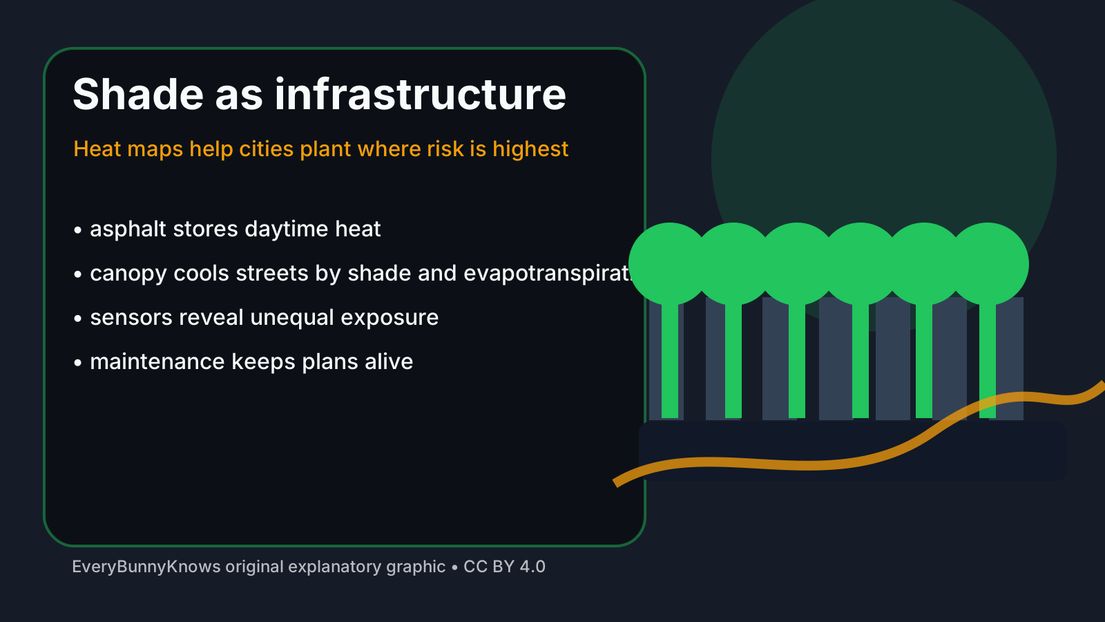
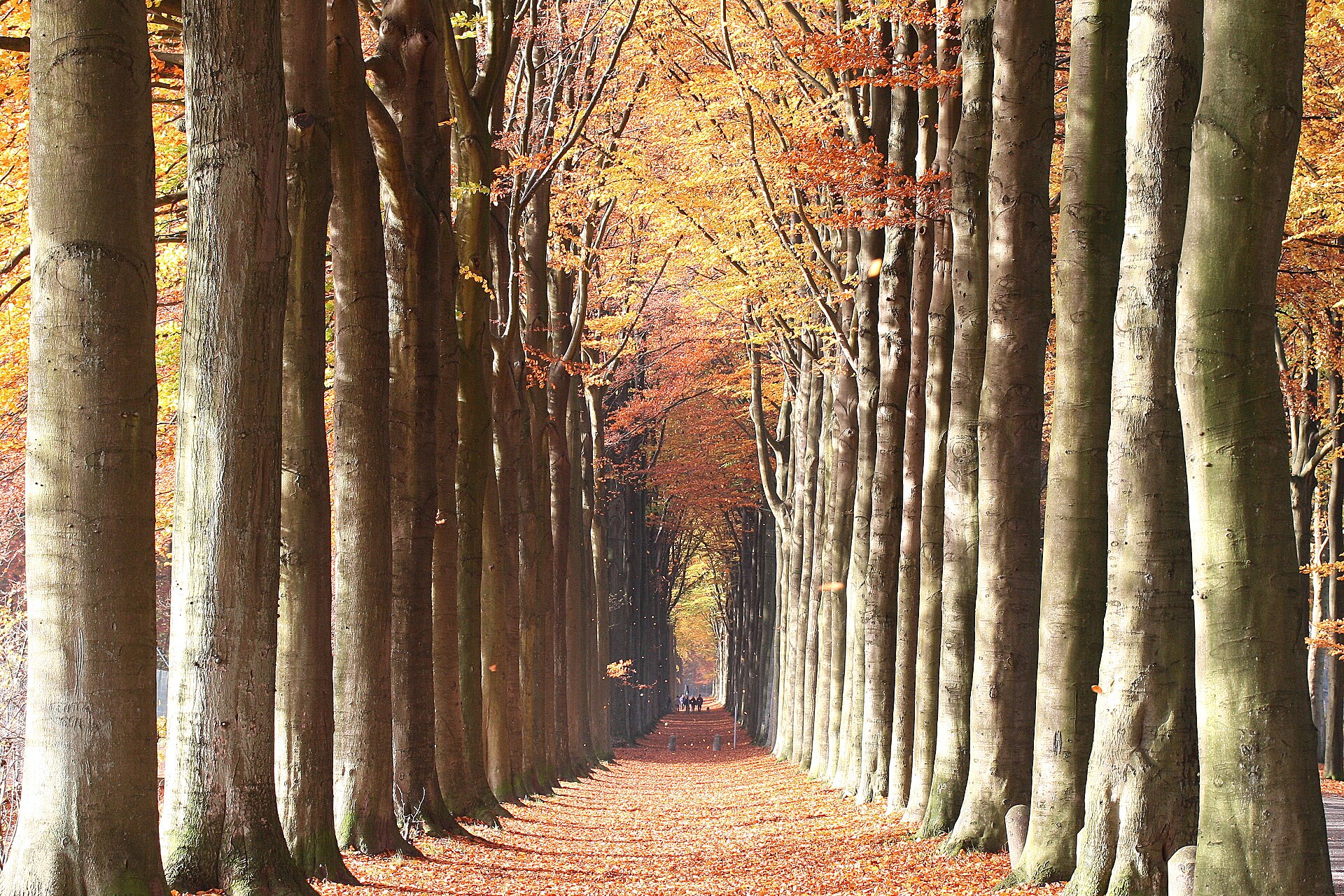
The mechanism is familiar but powerful. Trees cool streets by casting shade and by evapotranspiration, the release of water vapour through leaves. Shade lowers the radiant heat felt by people waiting, walking or working outdoors; evapotranspiration helps cool the air around the canopy. The effect depends on species, age, crown size, soil volume, irrigation, wind and street geometry. A newly planted sapling is a promise, not yet a climate service. A mature, healthy tree over a pavement can change the human heat load immediately.
Smart maps matter because urban heat is unequal. Dark roofs and asphalt store heat; traffic adds waste heat; dense buildings reduce night-time cooling; and neighbourhoods with fewer trees often overlap with lower incomes, older housing or residents who have less access to air conditioning. A cooling plan that ignores those patterns can beautify already comfortable districts while leaving the riskiest blocks exposed. A better plan gives priority to schools, care homes, clinics, bus stops, walking routes and places where heat-related illness is most likely.
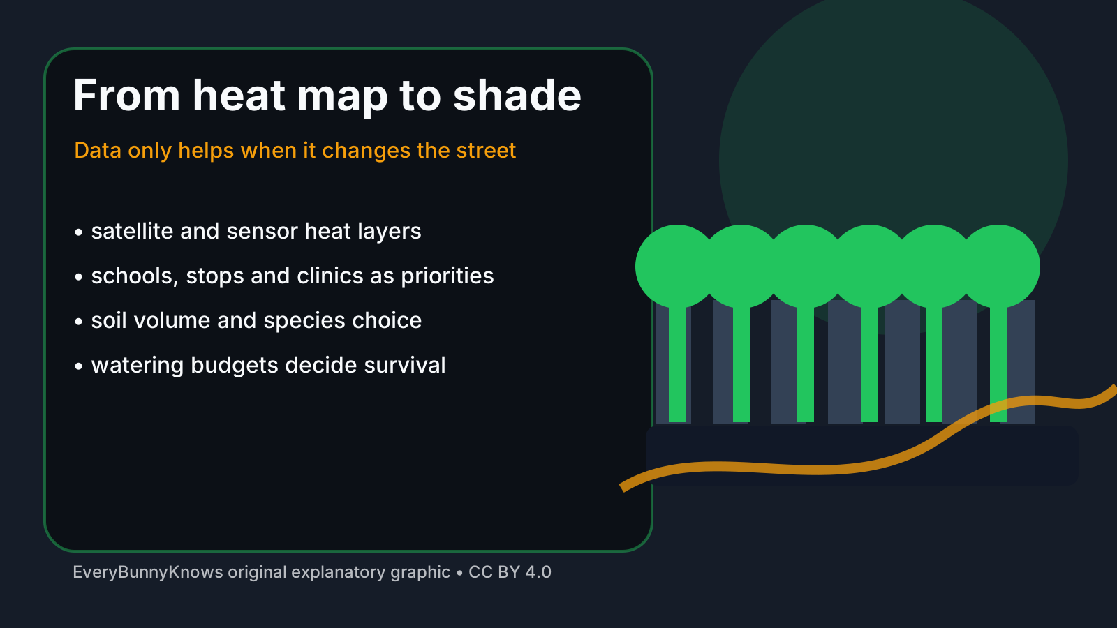
There are limits. Trees need space below ground as much as above it. Compacted soil, utility trenches, road salt, drought and vandalism can kill a planting programme quietly. Some species raise allergy concerns or fail under future heat. In dry cities, extra canopy must be balanced with water budgets, stormwater capture and species adapted to local conditions. Smart maps can also give a false sense of precision if they are not checked by people who know the street: where pedestrians actually wait, where delivery trucks crush roots, where a promised rain garden never receives runoff.
The hopeful part is practical. Cities do not need to wait for a single grand technology to reduce dangerous heat. They can map the hottest blocks, plant where shade is a public-health intervention, protect mature trees as infrastructure, redesign pavements to admit water and track whether temperatures and survival rates improve. The strongest programmes publish those results, so residents can see whether promised canopy is reaching the blocks named as priorities.
Cooling a street with trees is slow compared with switching on an air conditioner. But it changes the city itself, making the next heat wave a little less unequal and a little more survivable.