Words for the Wild: How Language Keeps Landscapes Visible
Place names and nature words are small records of weather, animals and work; Oxford English Dictionary, UNESCO and the Sámi Parliament show why losing them can also blur ecological memory.
Tomáš Hare ·
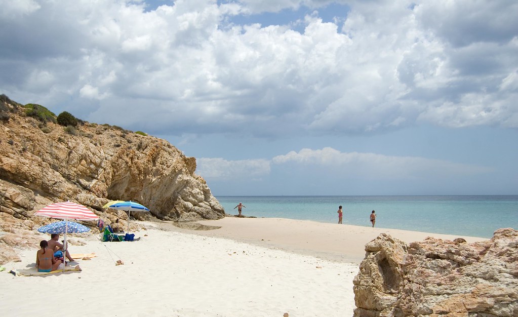
A wild place is never only a view. It is also a vocabulary: names for bog, scree, hollow, ford, wind, moss, hoof mark and safe crossing. In Britain, writers such as Robert Macfarlane have drawn attention to words like “smeuse,” a Sussex term for a gap in a hedge made by a small animal, while Gaelic, Welsh and Sámi speakers point to much larger systems in which land, work and weather are named together. The point is not nostalgia. When a word disappears from ordinary speech, a piece of noticing can disappear with it.
Linguists describe this as a relation between language and ecological knowledge. UNESCO estimates that about 40 percent of the world’s roughly 7,000 languages are endangered, and many are spoken by communities with detailed local knowledge of plants, animals, water and seasons. The Oxford English Dictionary records older rural English terms, but a dictionary is only a storehouse; living use depends on schools, families, signs, maps and everyday work. The Sámi Parliament in Norway has supported language rights partly because terms for snow, reindeer and terrain are practical knowledge across Sapmi, not decorative folklore.

## How the mechanism works
The mechanism is simple and powerful: a name trains attention. If a shepherd, botanist or child has separate words for a spring-fed flush, a peat bog and a seasonal puddle, the landscape stops being a green blur. The word lets people compare one place with another, pass a route to someone else, and remember that a plant appears after 3 wet weeks or that a crossing is safe only after 2 dry days. Language works like a field notebook carried in the mouth. It sorts repeated observations into categories, then allows those categories to travel between generations.
Named entities make the evidence traceable. The Ordnance Survey in Great Britain keeps millions of place names on maps; the Scottish Gaelic place-name project Ainmean-Àite na h-Alba documents forms that often point to slope, grazing, saints or water; the Australian Institute of Aboriginal and Torres Strait Islander Studies records language materials tied to country. In each case, the value is not only etymology. A hill name may preserve a vanished woodland, a river name may mark a crossing, and an Indigenous plant name may carry information about food, medicine or law. Numbers help keep the claim in scale: 7,000 languages, 40 percent endangered, and thousands of mapped names are not a mood but a measurable cultural archive.

## Limits and context
There are limits. Words should not be mined as if communities were museums, and outsiders can misunderstand or romanticize terms when they detach them from speakers. A printed list also cannot replace land access, intergenerational teaching or legal recognition. Ecological change complicates the archive: a name for a salmon pool means something different if warming water and dams remove the salmon. Careful work therefore needs consent, pronunciation, context and return of materials to the people who use the language.
For a reader, the practical lesson is modest. Learning local names can make a walk more exact: alder carr, chalk down, moraine, ria, machair, scree. Asking why a road, valley or meadow is called what it is can reveal an older economy of water, animals and soil. The act does not save a language by itself, but it changes the habit of looking from scenery to relationship.
The next test for projects such as Ainmean-Àite na h-Alba, national mapping agencies and community language archives is whether digital tools can support living speech rather than flatten it. A good map can show a word; only speakers, land and repeated use can keep it alive.