Donlin Gold shows how a mine proposal becomes a map of land, salmon and sovereignty
The proposed Donlin Gold mine in western Alaska is more than a minerals story: it follows the Kuskokwim River, Alaska Native land corporations, tribal governments, salmon harvests and a long debate over who bears the risks of extraction.
Felix Arden ·
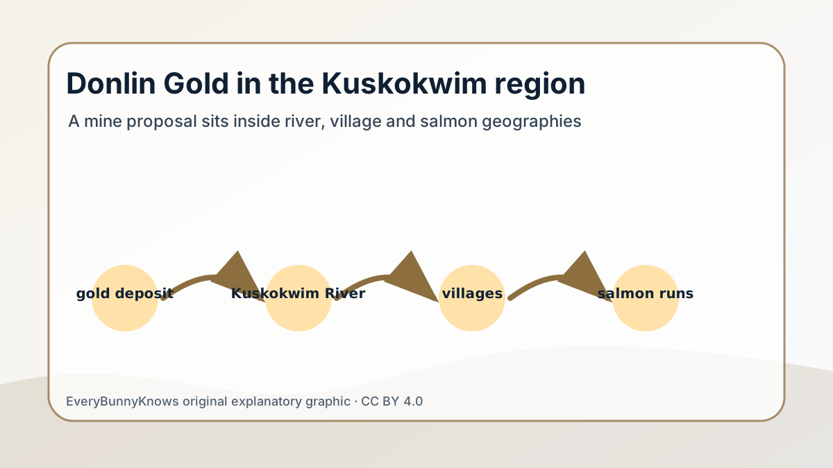
The proposed Donlin Gold mine in western Alaska is often described by the size of its mineral prize. Its backers have discussed one of the world’s largest undeveloped gold deposits, and recent public debate has translated high gold prices into a headline value of roughly $170 billion. But the geography of Donlin is not just a number in the ground. It is a map of the Kuskokwim River, Alaska Native land corporations, tribal governments, fish camps, airstrips, proposed infrastructure and communities that do not all read the same landscape in the same way.
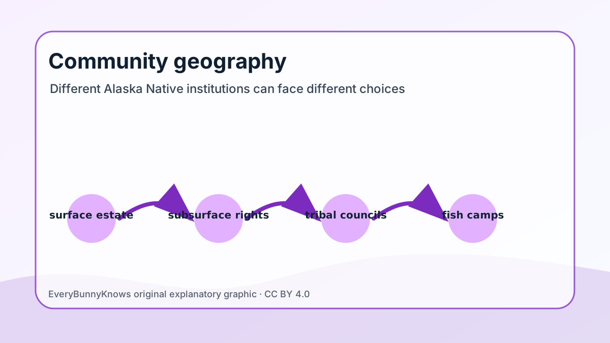
The project area lies in the Yukon-Kuskokwim region, inland from the Bering Sea and near communities whose daily geography is shaped by rivers more than roads. Donlin Gold LLC is owned by subsidiaries of Barrick Gold and NOVAGOLD; the underlying land position involves Calista Corporation, which holds subsurface estate selected under the Alaska Native Claims Settlement Act, and The Kuskokwim Corporation, which owns surface estate for several villages. That structure matters because Alaska Native people are not a single stakeholder with one institutional voice. A regional corporation, a village corporation, a tribal government and a household that depends on salmon can each face different legal powers, economic hopes and environmental risks.
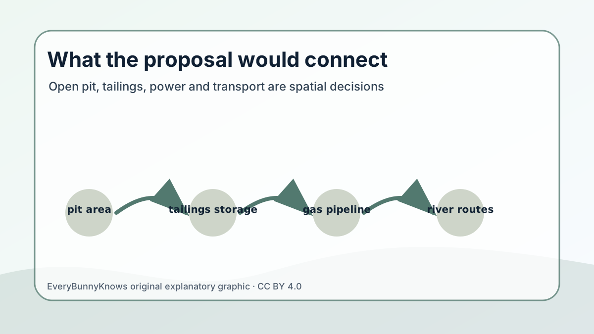
The proposed mine is usually discussed as an open-pit operation with processing facilities, waste-rock areas, tailings storage, river transport needs and a long natural-gas pipeline concept. Those pieces are spatial decisions. A tailings facility is not only an engineering feature; it sits upstream or downstream from places people know. A pipeline is not only energy supply; it crosses wetlands, permafrost, hunting areas and regulatory boundaries. Barging and port improvements are not only logistics; they change the way industrial activity touches the Kuskokwim system.
Supporters point to jobs, contracts, revenue sharing and the possibility that a remote region could gain infrastructure and cash income in a place where costs are high. Those claims are real enough to be debated seriously. Many families in rural Alaska need wage opportunities close to home, and corporate landowners have legal duties to shareholders. Opponents and cautious residents focus on salmon, mercury, cyanide processing, tailings risk, dust, roadless-country disturbance and the cumulative pressure on a river that is already central to food security and culture. For them, the issue is not only whether a mine can meet permit conditions, but whether the region should accept a century-scale industrial footprint for a commodity whose benefits and risks are distributed unevenly.
The regulatory record is substantial. The U.S. Army Corps of Engineers completed a final environmental impact statement and issued federal authorizations in 2018, while state permits, litigation and continuing community campaigns have kept the project politically alive rather than settled. That is an important limit for readers: Donlin is not a mine producing gold today. It is a permitted and contested proposal whose future depends on financing, engineering, court decisions, commodity prices and regional consent or opposition.
Geography helps explain why the debate feels so intense. On a map, the Kuskokwim can look like a line carrying barges and runoff. In local life it is a seasonal highway, a salmon corridor, a source of drinking water, a memory route and a political commons. The most honest way to understand Donlin is therefore not to ask whether Alaska Native communities are simply for or against development. It is to ask which institution is speaking, which risks it carries, which benefits it can actually receive and how the river connects them all.