India Gained 2.1 Million Hectares of Dry Woodland in a Decade, Major Study Finds
A decade-long remote-sensing study reports that India gained 2.1 million hectares of dry woodland from 2014 to 2024, a finding that reframes open seasonal forests as landscapes worth measuring carefully, not empty scrub.
Felix Arden ·
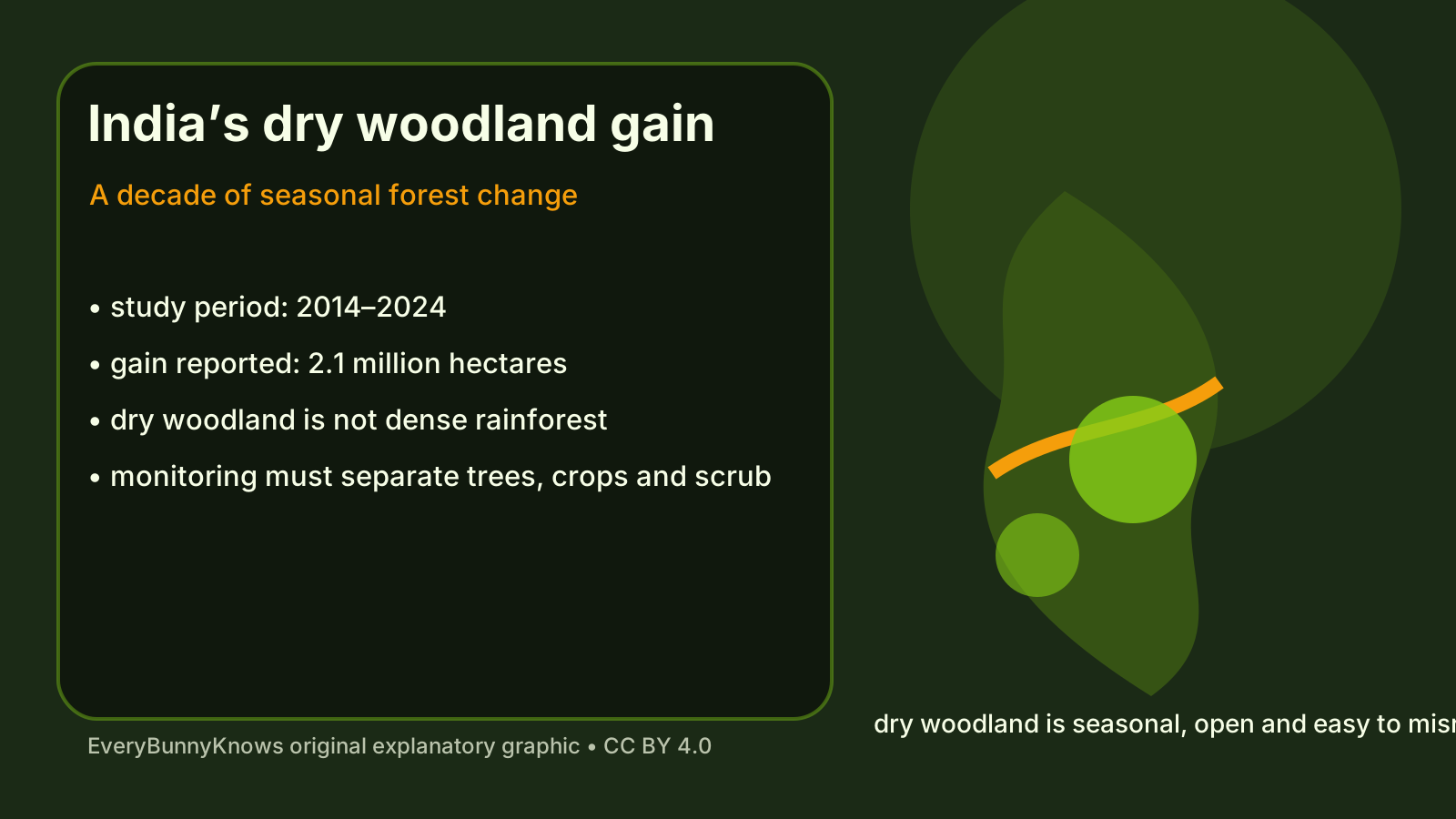
A forest gain of 2.1 million hectares sounds simple until the word “forest” is placed in a dry Indian landscape. Many of India’s seasonal woodlands are open, thorny or deciduous. They drop leaves in the dry season, share space with grazing, farms and villages, and can look less dramatic than a wet evergreen forest. A major study reported through Phys.org says that from 2014 to 2024 India gained about 2.1 million hectares of dry woodland, making a landscape that is often overlooked newly visible in national land monitoring.
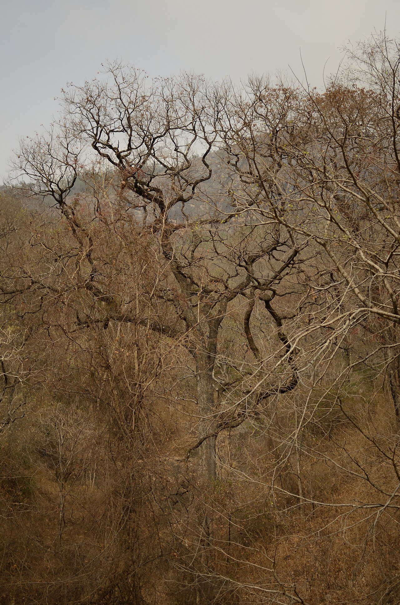
The geography matters because dry woodland is not a failed rainforest. It is adapted to heat, monsoon timing, fire, grazing and long dry months. Trees may stand apart rather than forming a closed canopy. Grasses, shrubs and bare soil may be part of the same system. For satellites and policy, that makes classification difficult. A pixel can shift with rainfall, harvest timing, plantation growth, scrub recovery or true woodland expansion. The study’s claim is therefore not just that there are more trees. It is that researchers used a decade of observation to distinguish a real pattern across a complicated seasonal mosaic.
The mechanism behind such a gain can include several processes. Some areas may recover after reduced pressure from cutting or grazing. Some may reflect restoration, social forestry, agroforestry or protection of degraded land. In other places, natural regeneration can follow changes in farming, water availability or local management. A national number compresses all of these local stories, which is useful for seeing scale but dangerous if read as one uniform success.
That is why dry woodland deserves its own attention. These habitats store carbon, hold soil, slow runoff, provide fuelwood and fodder, and support species adapted to open forest rather than dense canopy. They also sit close to people. A change in woodland cover can affect village access to grazing, minor forest products, wildlife corridors and fire risk. Calling every increase good would be too easy; a tree gain that replaces grassland, common land or biodiverse scrub may create new conflicts. The location and composition of the gain matter.
The limits are clear. Remote sensing can misread plantations, invasive woody growth, seasonal leaf flush or temporary greening after wet years. “Dry woodland” is a broad category, and a hectare counted from above does not automatically tell us whether native species are returning, whether local communities benefit, or whether soil and water are improving. Field validation, species data and local governance decide how much ecological value sits behind the map.
Still, the finding is important because it corrects a habit of attention. Conservation debates often focus on tropical rainforests, while dry forests are treated as marginal land waiting to be farmed, planted or built over. A measured gain of 2.1 million hectares does not end the argument, but it gives planners a better question: where is woodland returning, what kind of woodland is it, and who depends on it? In a hot country facing development pressure and climate stress, learning to see dry woodland accurately is already a form of care.