International Sea Level Satellite Observes El Niño Precursor
Sentinel-6 Michael Freilich can spot raised sea level from eastward-moving warm water, an early Pacific signal that may precede El Niño but still needs confirmation from winds, temperatures and forecasts.
Ivy Stone ·
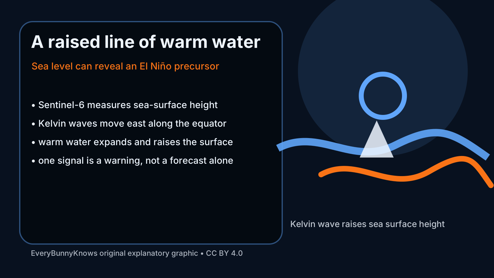
El Niño often begins as a change that most people cannot see: warm water shifts beneath the equatorial Pacific, winds relax or reorganise, and the ocean surface rises by a few centimetres along a moving band. The international Sentinel-6 Michael Freilich satellite, developed by partners including NASA, NOAA, ESA, EUMETSAT and CNES, is built to notice that kind of signal. Its radar altimeter measures sea-surface height with the precision needed to detect an eastward-moving bulge of warm water, one possible precursor to El Niño.
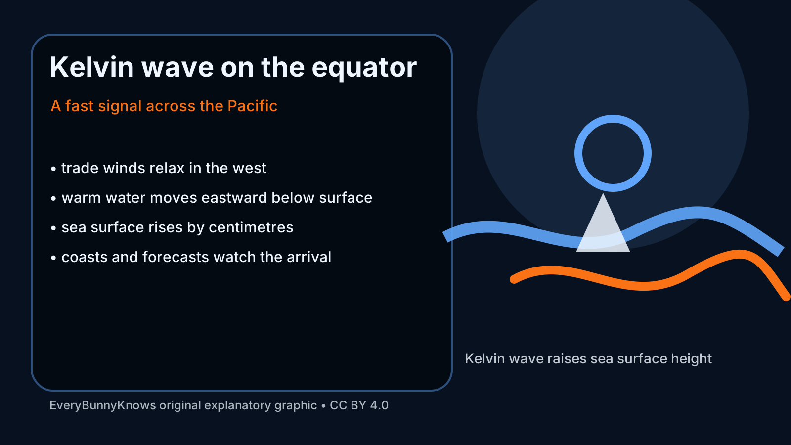
The mechanism is called an equatorial Kelvin wave. Under neutral conditions, trade winds help pile warm surface water toward the western Pacific. When those winds weaken, part of that warm water can travel eastward along the equator. Warm water expands, so the sea surface above it sits slightly higher than surrounding water. A satellite does not need to touch the ocean to detect the change; it sends radar pulses downward, times their return, corrects for orbit, waves, atmosphere and tides, and turns the result into a map of sea-level anomaly.
That height signal matters because El Niño is not just a local warming. When warm water reaches the central and eastern tropical Pacific, it can shift rainfall, weaken upwelling, affect fisheries off South America, alter tropical cyclone patterns and influence temperature and precipitation far beyond the ocean basin. A raised stripe of sea level is therefore an early clue that the coupled ocean-atmosphere system may be moving toward a new state.
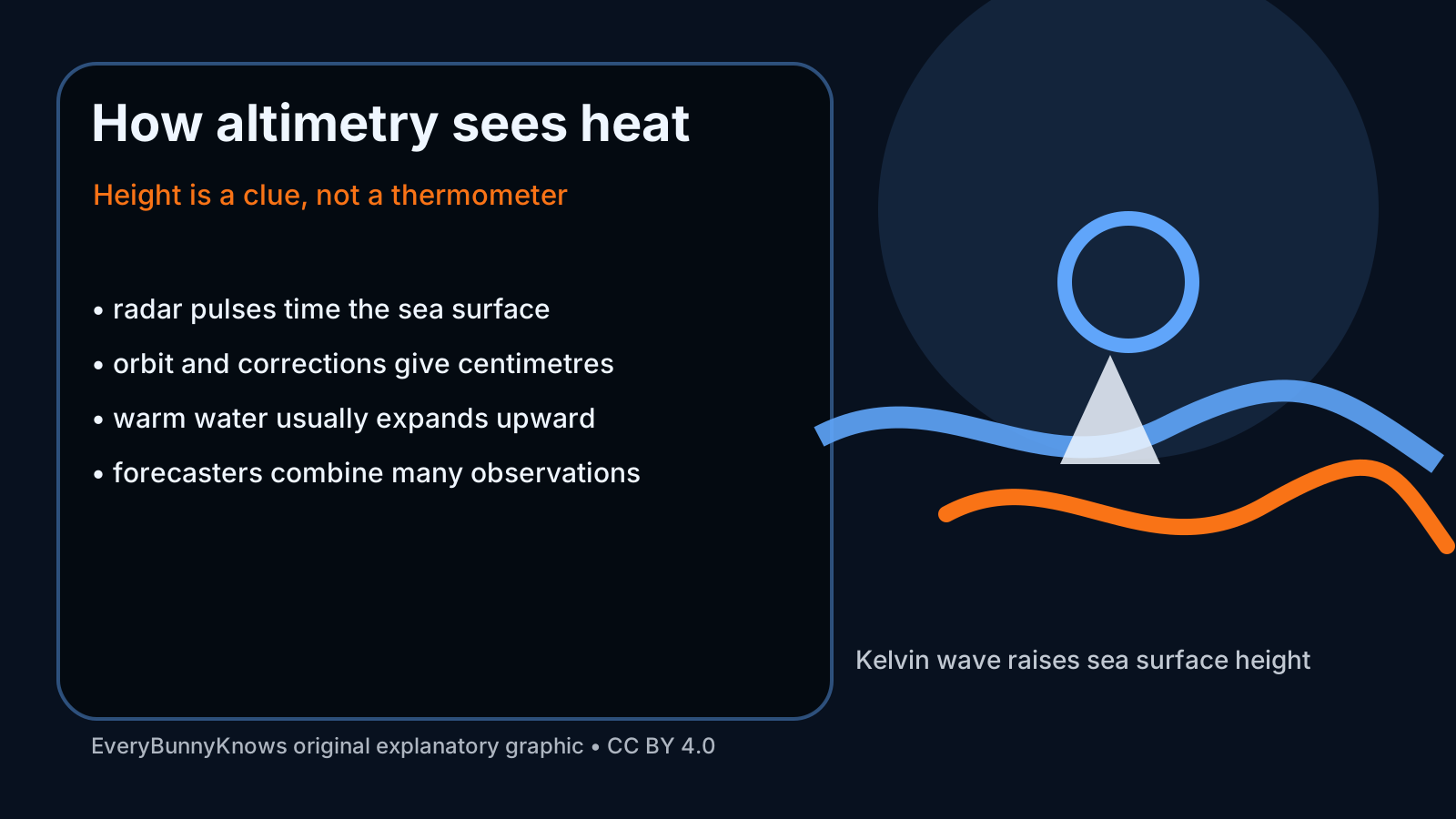
The context is a long international record of satellite altimetry. Missions in the TOPEX/Poseidon, Jason and Sentinel-6 line have allowed scientists to compare today’s sea surface with decades of measurements. Sentinel-6 Michael Freilich continues that climate data record while also supporting shorter-term ocean and weather services. For forecasters, sea-level height complements sea-surface temperature, subsurface buoys, winds, outgoing longwave radiation and model ensembles. Each observation sees a different part of the Pacific machine.
There are limits. A Kelvin wave is not the same as a declared El Niño event. Some warm pulses fade, arrive at the wrong time, or fail to couple strongly with the atmosphere. Forecasts are especially uncertain during the boreal-spring “predictability barrier,” when the system can change quickly. Sea-level maps also require careful corrections and interpretation; coastal tides or weather noise are not the same as a basin-scale equatorial signal.
The hopeful part is that early warnings have become more physical and more global. Farmers, fisheries, water managers, health agencies and disaster planners cannot stop El Niño, but they can prepare better when observations show how the ocean is evolving. The same satellite record also helps separate short-term pulses from long-term sea-level rise, so a seasonal warning can sit inside a climate record rather than replace it. That matters in places where El Niño can mean drought, floods, coral stress, crop losses or changes in disease risk. A few centimetres of extra height in the tropical Pacific may look small. Read with winds, temperatures and models, it can become an early sentence in the climate story of the coming seasons.