Ko Yao Noi and Ko Yao Yai: quiet islands in the middle of Phang Nga Bay
Between Phuket and Krabi, Ko Yao Noi and Ko Yao Yai show a slower side of Phang Nga Bay: limestone views, fishing villages, rubber trees, mangroves and Muslim-Thai food shaped by tide and island roads.
Marco Linden ·
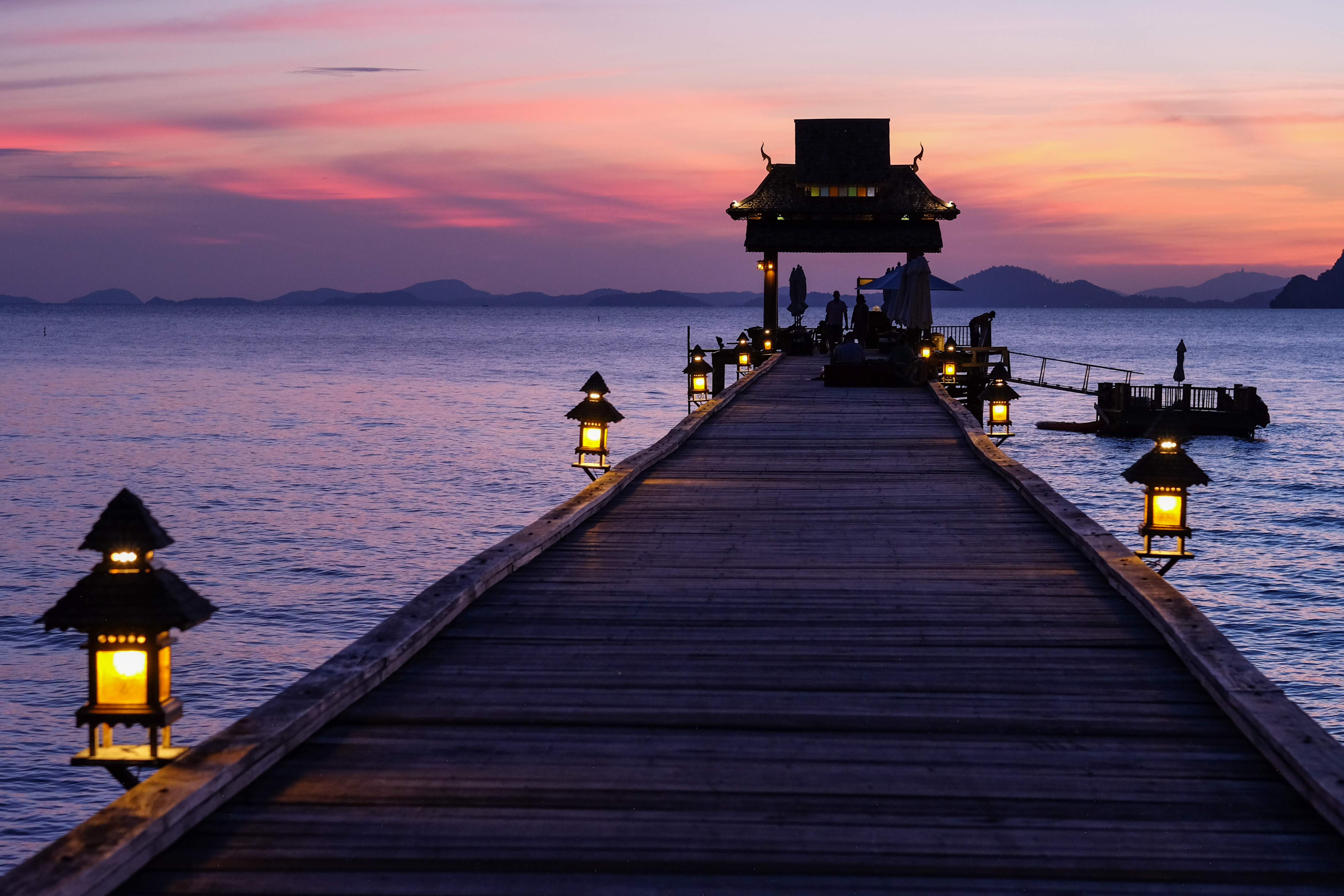
Ko Yao Noi and Ko Yao Yai sit almost in the middle of Phang Nga Bay, between Phuket to the west and the Krabi coast to the east. That location explains their character better than any resort label. The islands are close enough for ferries and long-tail boats, but far enough from the large beach towns that roads still pass rubber trees, coconut palms, small mosques, fishing piers and houses built around shade.
Phang Nga Bay is famous for limestone towers rising from green water. On Ko Yao Noi, the view is not a postcard glimpsed from a speedboat; it is a daily horizon seen from beaches, rice fields, cafés and scooter roads. The geology matters because it sets the mood of travel here. The karst islands break the sea into channels, the tides expose flats and mangroves, and the horizon keeps changing with haze, rain and morning light.
The human landscape is just as important. Ko Yao has long been a largely Muslim island community, with fishing, rubber tapping and small-scale farming shaping the rhythm of the day. Tourism has grown, but it tends to arrive as guesthouses, small resorts, bicycle routes, kayak trips and seafood restaurants rather than a single strip of nightlife. That does not make the islands untouched; it makes them a useful place to notice how travel can fit around working villages.
Ko Yao Yai is the larger island, with longer roads, piers and broad beaches where the water can run far out at low tide. Ko Yao Noi feels more compact and often easier for a first-time visitor without rushing. The two belong together because boats, families and supplies move between them, and because both face the same bay. A good day is simple: cross by boat, ride slowly, stop where mangroves meet the road, and leave time for the tide instead of treating the islands as a checklist.
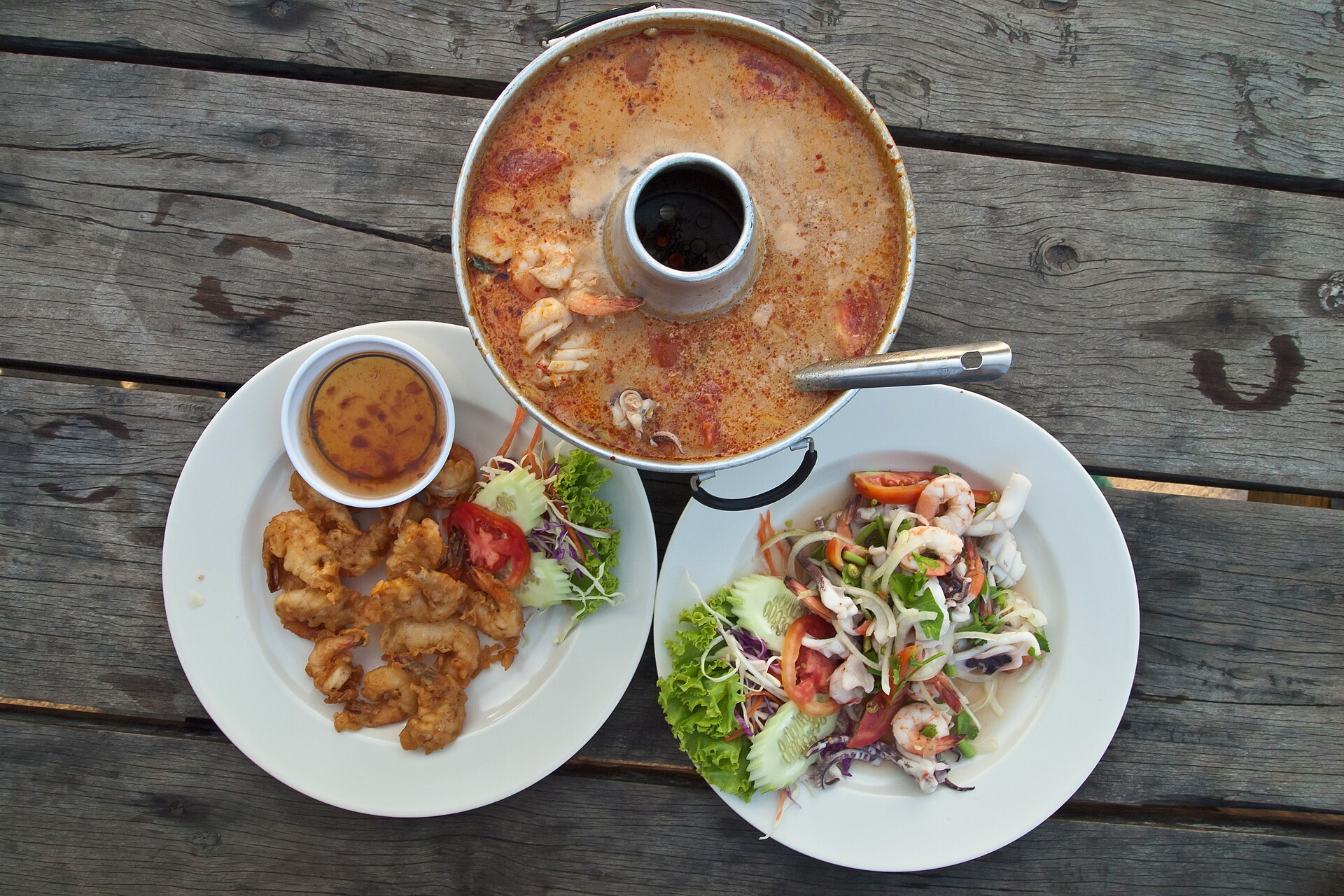
Food makes the geography practical. Menus lean toward grilled fish, prawns, squid, crab, coconut curries, roti, rice and fruit, with southern Thai heat softened by island produce and the habits of Muslim-Thai kitchens. The best meals are not necessarily elaborate. They often come from a pier restaurant or a village table where the catch, the curry paste and the weather explain each other.
For planning, the most useful base is not a single beach but the relationship between pier, village and tide. Ferries commonly connect through Phuket, Krabi or nearby piers on the mainland, so arrival times shape the first and last hours of a stay. Scooters and bicycles work well on smaller roads, but the distances are still real in heat and rain. Travellers who leave space for a cancelled kayak trip, a muddy low tide or an afternoon shower usually understand the islands better than those chasing a perfect beach sequence.
There are limits to the idyll. Ferries depend on routes and weather; beaches can be shallow, muddy or tide-bound; and the same quiet that makes the islands appealing also means fewer late-night services. Visitors should dress and behave with awareness in villages and around mosques, and should not expect every beach to work like Phuket. That is the point. Ko Yao Noi and Ko Yao Yai reward slower travel because the bay is not a backdrop. It is the system that shapes the roads, meals, boats and mornings.