The Mapmakers Who Helped the World Understand Itself
From Ptolemy’s coordinates to Waldseemüller’s America and Mercator’s navigation grid, mapmakers made the world legible while reminding us that every map has a point of view.
Owen Pike ·
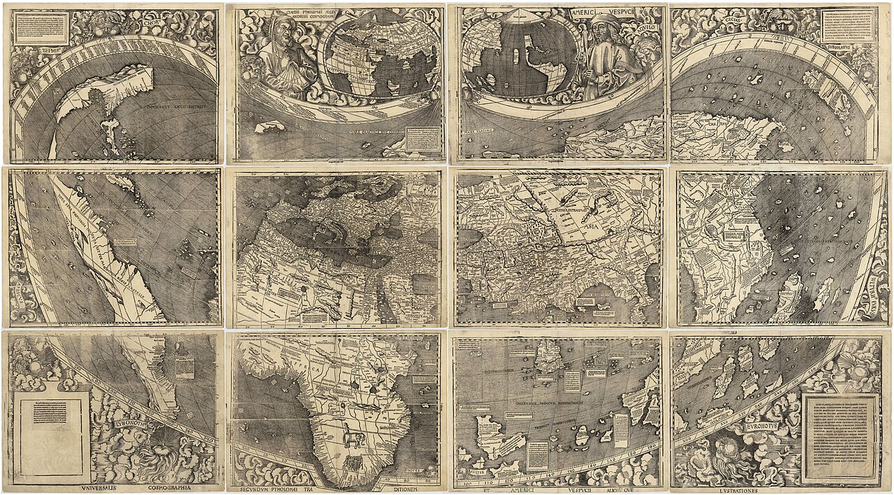
Mapmakers helped the world understand itself by turning scattered journeys, coastlines, stars, surveys and political ambitions into shared visual arguments. A map can look calm on a wall, but it is never only a picture. It says what has been measured, what has been guessed, which names matter, whose routes are safe and which parts of the world are being pulled into conversation with one another.
The mechanism begins with selection. A navigator’s sketch, a traveler’s report, a portolan chart, an astronomical observation and a ruler’s boundary claim do not automatically become a world map. Someone has to compare them, choose a scale, decide what to leave blank, and translate a curved Earth onto a flat surface. That translation is useful precisely because it is imperfect: every projection preserves some relationships and sacrifices others. The history of cartography is therefore a history of better tools, but also of more honest compromises.
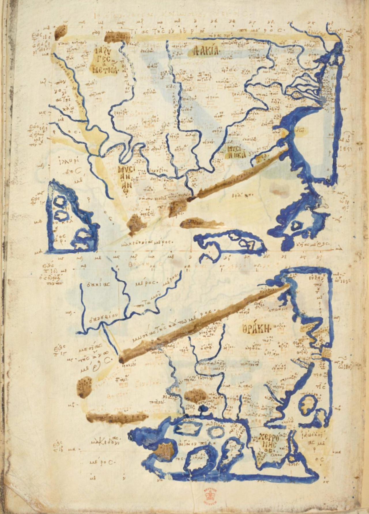
Martin Waldseemüller’s 1507 world map is famous because it used the name America, but its deeper importance is methodological. It gathered classical geography, recent Atlantic voyages, printed scholarship and a new willingness to revise inherited authorities. Ptolemy’s Geographia had given European scholars a coordinate-based way to think about place; Renaissance printers and engravers made such knowledge reproducible; oceanic voyages forced mapmakers to admit that the old world picture no longer fit the evidence.
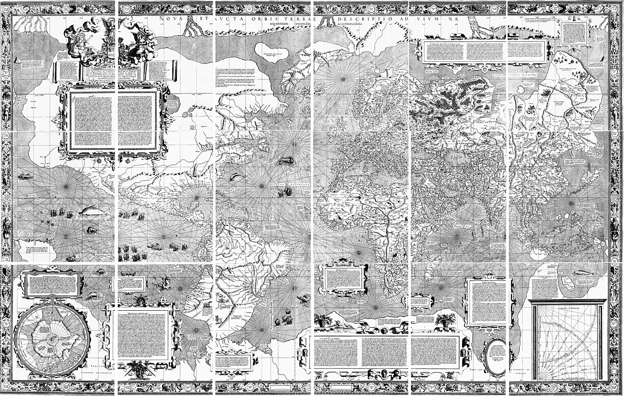
Mercator’s 1569 projection shows a different kind of cartographic intelligence. For sailors, a line of constant bearing could be drawn as a straight line, a practical advantage in an age of ocean navigation. The cost was distortion near the poles, a cost that later readers sometimes forgot when they treated area on the page as importance in the world. A good map, then, can be both brilliant and misleading if its purpose is ignored.
The political layer matters too. Maps helped empires tax land, plan roads, claim colonies and imagine borders as if they were natural lines. They also helped merchants avoid reefs, pilgrims orient themselves, scientists compare climates and communities name their own surroundings. The same technique could serve domination or cooperation. That is why map literacy is not just historical trivia; it is a way of asking who supplied the data, who controlled the symbols and who benefited from the finished image.
There are limits to celebrating mapmakers as heroic revealers of truth. Many maps erased Indigenous knowledge even while depending on local guides. Blank spaces often meant blank to the map’s maker, not empty in reality. Early modern maps could mix measurement with myth, commercial secrecy with scholarship, and sincere curiosity with imperial appetite. The strongest admiration is therefore careful: mapmakers made the world more legible, but legibility always had a point of view.
Digital maps have not ended those questions. Satellites, GPS, open mapping projects and disaster dashboards can save time and lives, but they still edit reality through layers, labels, algorithms and access. The old lessons remain useful because they teach humility. To read a map well is to see both its achievement and its bargain.
For readers today, the payoff is a clearer kind of wonder. The world did not become understandable all at once; it was assembled through measurements, corrections, arguments and printed sheets that others could challenge. Mapmakers gave societies a shared surface on which to navigate, trade, argue, govern and dream. Their best work did not finish the world. It made the next question visible.