Mountainous Landscapes Store Far More Carbon Than Previously Thought
New work on steep terrain suggests mountain carbon is easy to undercount: erosion can move organic matter downslope, where burial and complex soils hide stores missed by simpler inventories.
Klára Novák ·
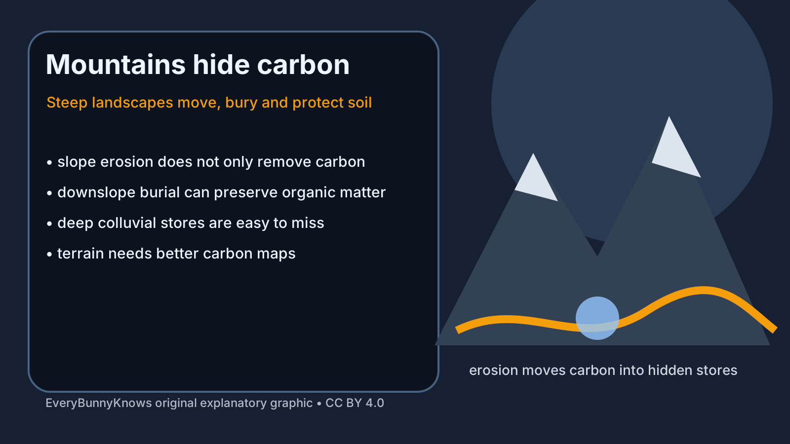
Mountains look thin-skinned from a distance: rock, scree, steep forests, landslides and soils that seem too shallow to matter much in the global carbon budget. New research on mountainous landscapes challenges that intuition. Steep terrain can store far more carbon than older estimates suggest, not because every slope is lush, but because mountains move soil, organic matter and sediment in ways that flat-land inventories often miss.
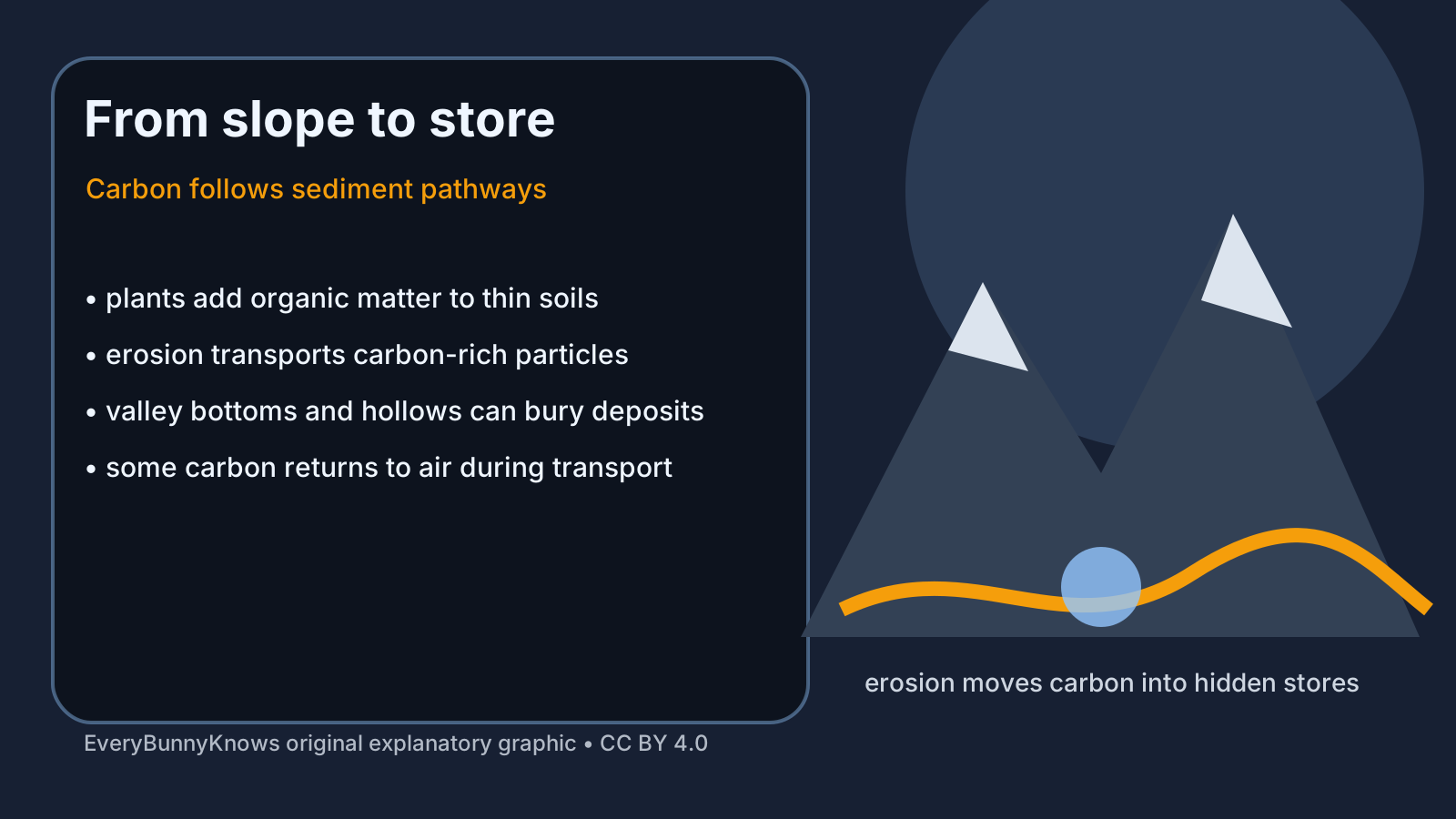
The mechanism begins with ordinary plant growth. Forests, shrubs, grasslands and alpine vegetation add leaves, roots and woody material to mountain soils. Gravity, runoff, freeze-thaw cycles, landslides and small slope failures then move some of that carbon-rich material downhill. Erosion can expose carbon to oxygen and microbes, releasing some of it back to the atmosphere. But transport can also bury organic matter in hollows, fans, valley bottoms and deep colluvial deposits, where colder temperatures, mineral protection, saturation or lack of oxygen slow decomposition.
That dual role is why mountain carbon is hard to count. Traditional soil surveys often sample accessible places, standard depths and relatively stable ground. In mountains, the important store may sit beneath a slope break, behind a terrace, under a forested hollow or deeper than a routine core. A map that treats steep land as mostly thin soil can therefore miss a hidden inventory. A geomorphic map, by contrast, asks where sediment has been removed, where it has accumulated, how long it has stayed there and what kind of carbon was buried with it.
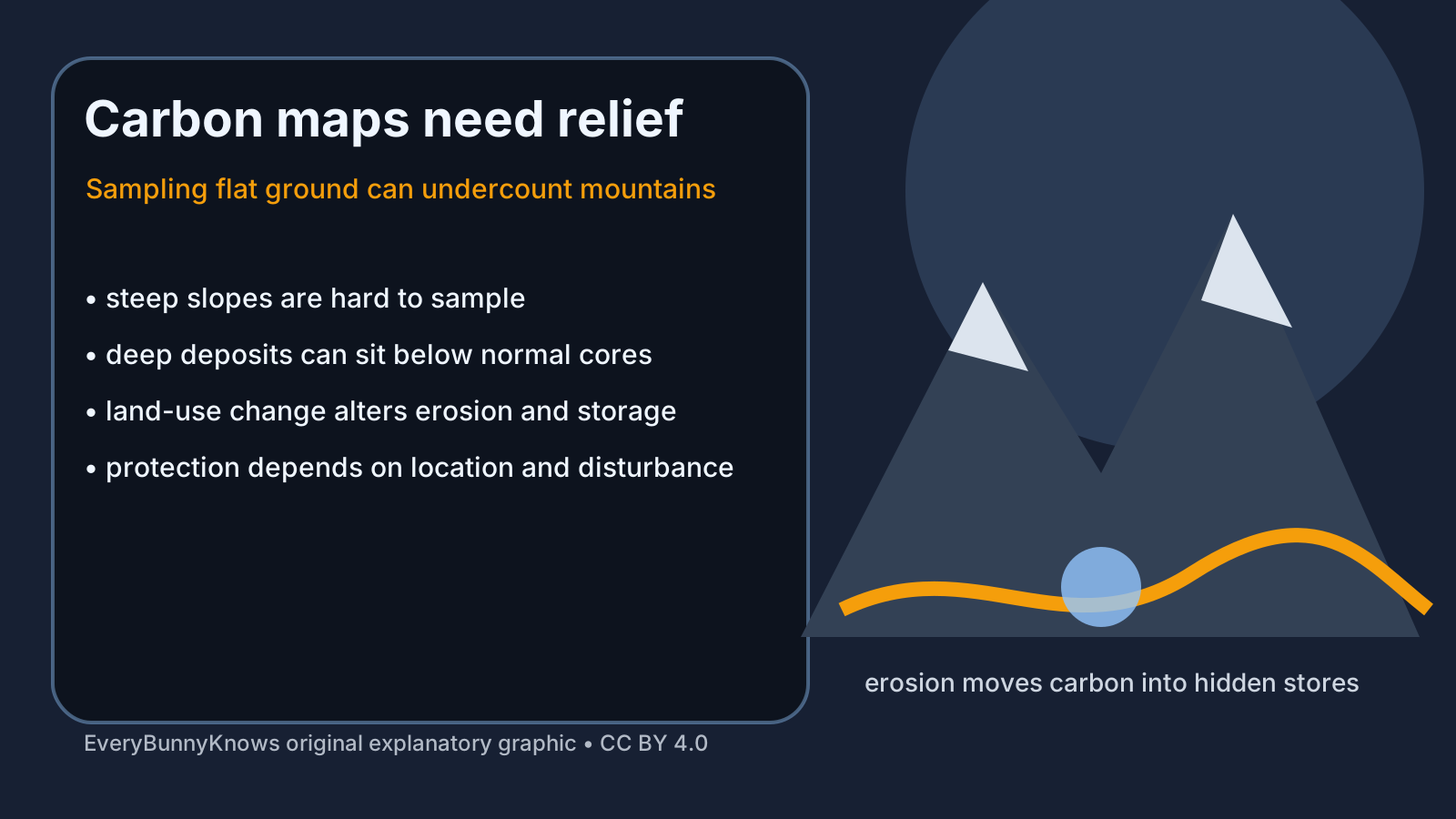
The finding matters because mountains cover a large share of land and feed major rivers, forests and water supplies. If their soils hold more carbon than expected, climate models and national inventories need better terrain information. It also changes how people think about restoration. Preventing severe erosion after deforestation, fire or road building may protect carbon stores; in other cases, natural sediment movement is part of the storage process. The same slope can be a source, a conveyor belt and a vault at different times.
There are limits. More stored carbon does not mean mountains are automatically safe carbon sinks. Warming can thaw frozen soils, drought can stress forests, extreme rain can trigger landslides, and land-use change can speed erosion beyond natural rates. Burial protects some organic matter but not all of it, and measuring deep, patchy deposits remains difficult. The research is best read as a correction to undercounting, not as permission to ignore emissions or disturbance.
It also asks for humility in land management. A road cut, ski development, firebreak, pasture conversion or poorly designed trail can alter water flow and sediment pathways far beyond its footprint. Protecting mountain carbon therefore means reading slopes as connected systems, not isolated patches of soil.
The hopeful implication is that better maps can lead to better stewardship. If scientists combine field cores, radiocarbon dating, terrain models, remote sensing and local land-use history, they can identify which mountain soils are fragile, which deposits are long-term stores and which restoration choices prevent carbon from being lost too quickly. Mountains are not blank grey edges on a carbon map. They are moving archives, and reading their slopes more carefully may improve both climate accounting and watershed care.