Ninh Binh: karst rivers, temples and rice fields in Vietnam’s inland limestone country
Ninh Binh’s boat routes and rice fields are part of a larger limestone story: Trang An’s UNESCO landscape, Hoa Lu history, temples, caves and farming valleys all work together.
Mira Vale ·
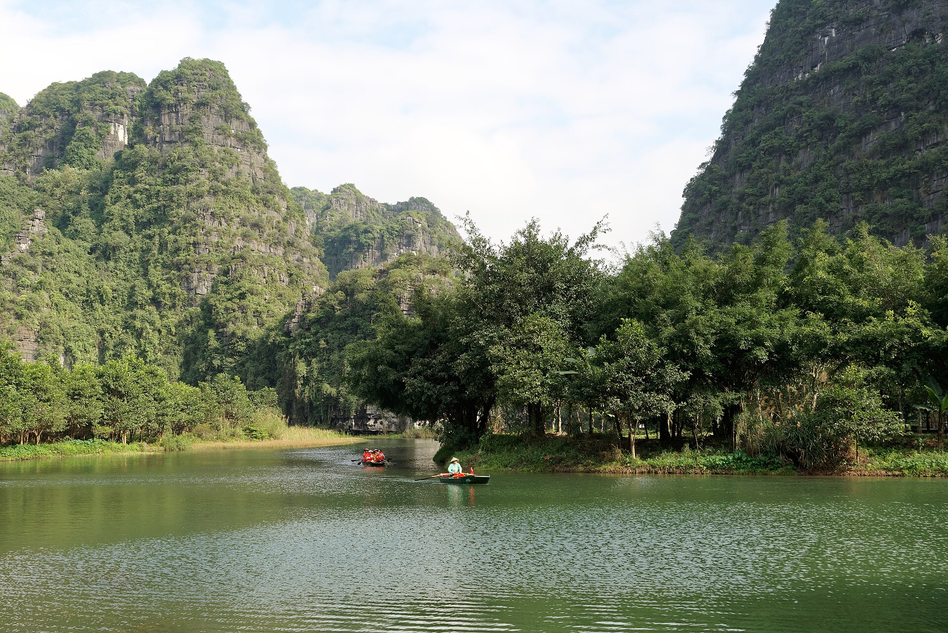
Ninh Binh is often called “Ha Long Bay on land,” but that nickname hides more than it explains. The province south of Hanoi is a limestone landscape of towers, caves, rivers, temples and rice fields, and its most important protected area is the Trang An Scenic Landscape Complex, inscribed by UNESCO in 2014. The useful frame is not comparison with the coast. It is the way karst geology, water routes, early Vietnamese history and farming valleys occupy the same small area.
Trang An shows the mechanism clearly. Limestone dissolves over long periods, leaving steep towers, enclosed valleys and cave passages through which water can move. Boat routes take visitors under rock ceilings and between cliffs, but the scenery is also a record of erosion, hydrology and human use. Nearby Hoa Lu was a capital in the 10th and 11th centuries, and temples in the area keep that political memory close to the physical landscape. A visitor is not moving through empty nature; they are passing through a place where geology shaped settlement and defence.
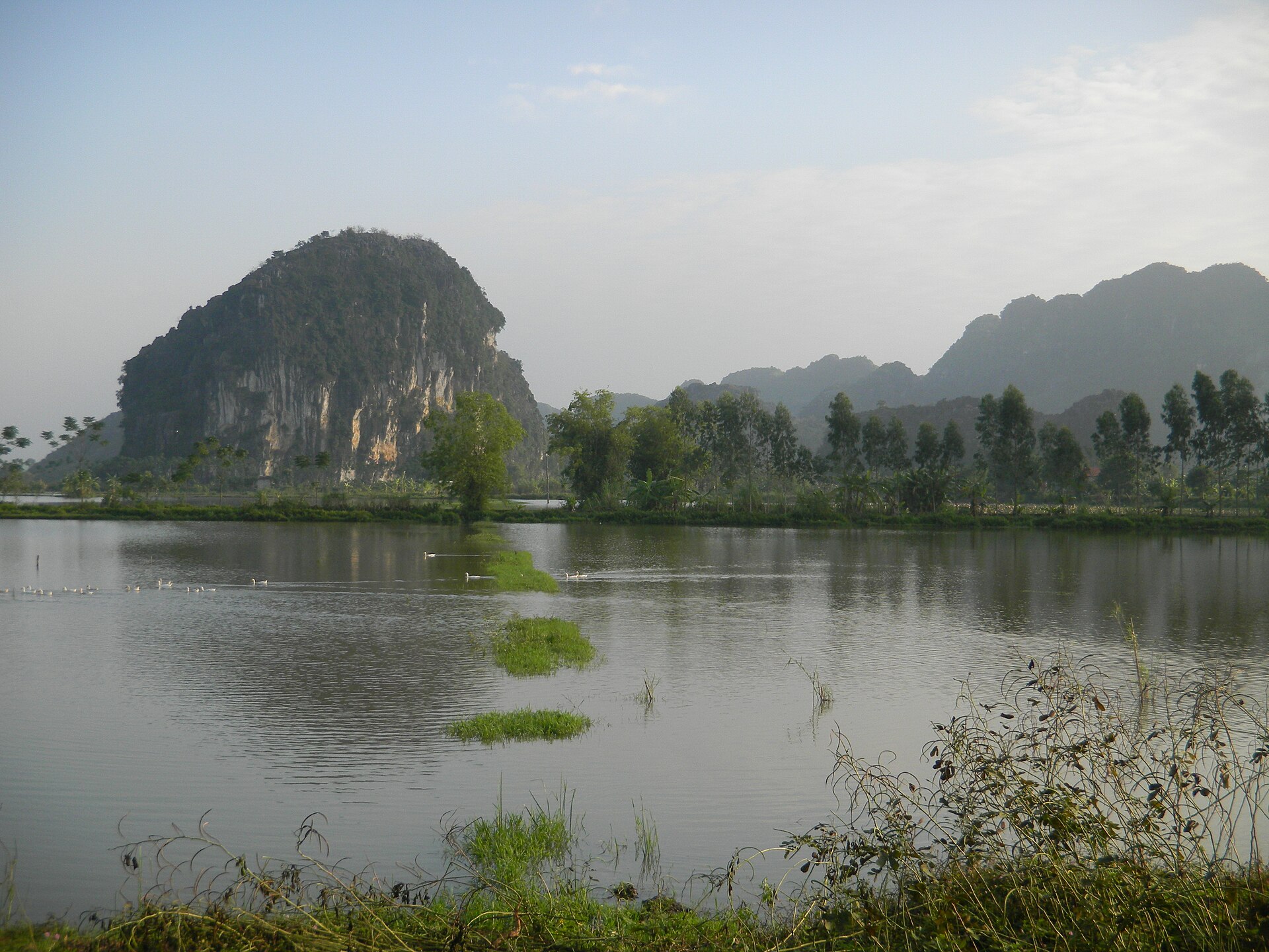
Tam Coc adds a quieter agricultural layer. Rice fields lie between limestone walls, and the river route changes with the season: green shoots, golden harvest, bare paddies and different water levels alter the view. This is why timing matters. The famous photographs of boats sliding between rice and cliffs are not permanent conditions; they are moments in a farming calendar. The landscape is worked, not simply admired.
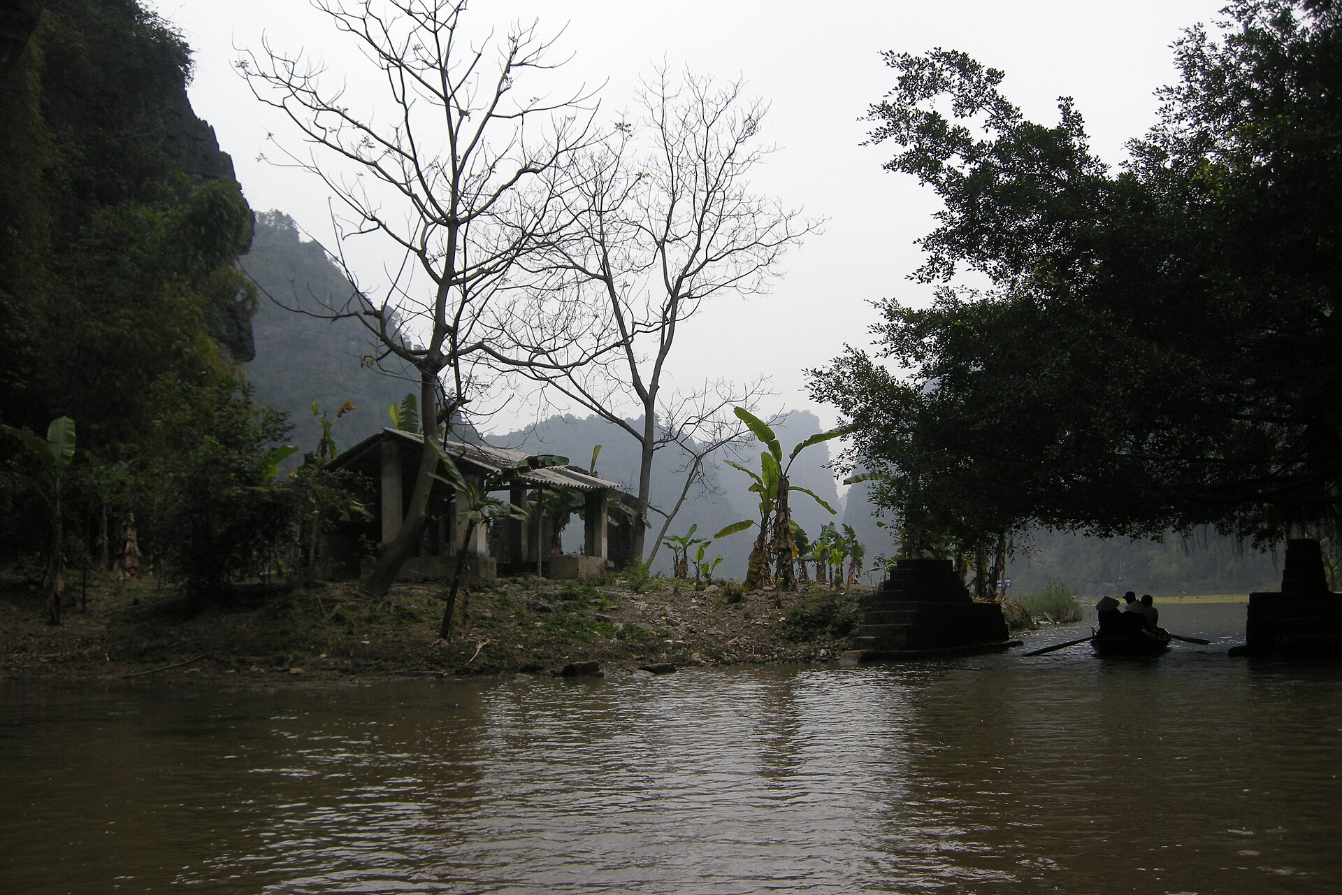
The UNESCO listing is important because it treats Trang An as both natural and cultural landscape, not as a viewpoint collection. Archaeological traces, ancient capital sites, sacred places and water-managed valleys sit inside the same limestone basin. That mixed status changes the way a traveller should look: a cave ceiling, a temple gate and a rice paddy are not separate stops to tick off, but parts of a long adaptation to cliffs, floods, seasonal water and defensible ground. The most memorable route is often the one that slows down enough to notice those connections.
The limits are crowding and simplification. Popular boat routes can feel busy, and repeated posing spots can make the valleys look like a theme park if the guide never explains the land. Conservation also has to balance tourism income, village life, caves, temples and water quality. A better visit chooses fewer stops and reads them more closely: one boat route, one temple complex, one slow cycle through fields if conditions allow. Hiring licensed local boat operators and respecting fixed landing points also keeps the experience tied to people who maintain the routes daily. Ninh Binh rewards attention because its beauty is structural. The cliffs, rivers and rice fields are not separate attractions; they are one limestone system made visible.