River temperature forecasts turn heat into a water-management signal
New river-temperature forecasting work shows why heat in streams is not just a weather detail: it links air temperature, flow, shade and human water use to decisions about fish, power plants and safe summer recreation.
Nina Kaplan ·
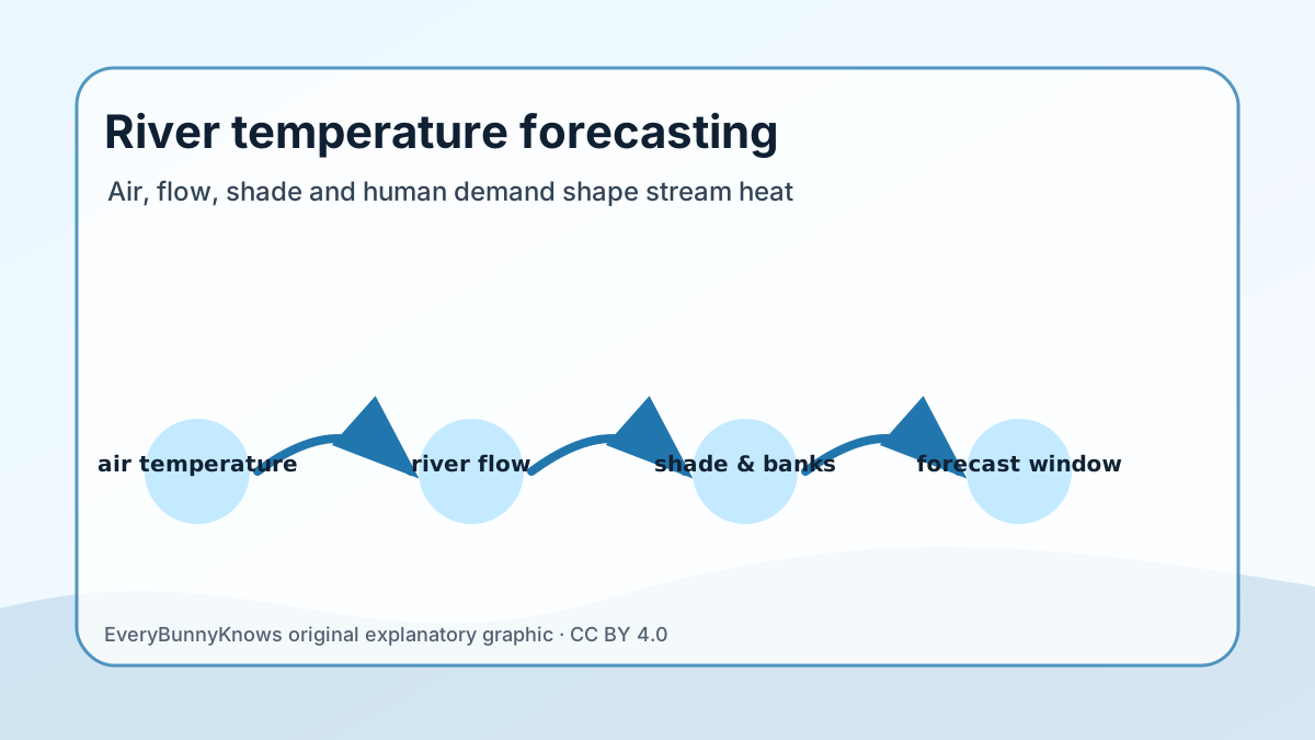
River temperature is one of the quiet variables that decides whether a summer landscape is working well. A stream can look clear and inviting while becoming too warm for trout, salmon eggs, freshwater insects, cooling-water intakes or a town that needs reliable recreation during a heat wave. That is why a new generation of river-temperature forecasting deserves attention in Geography: it turns heat into a mapped, time-sensitive water signal.
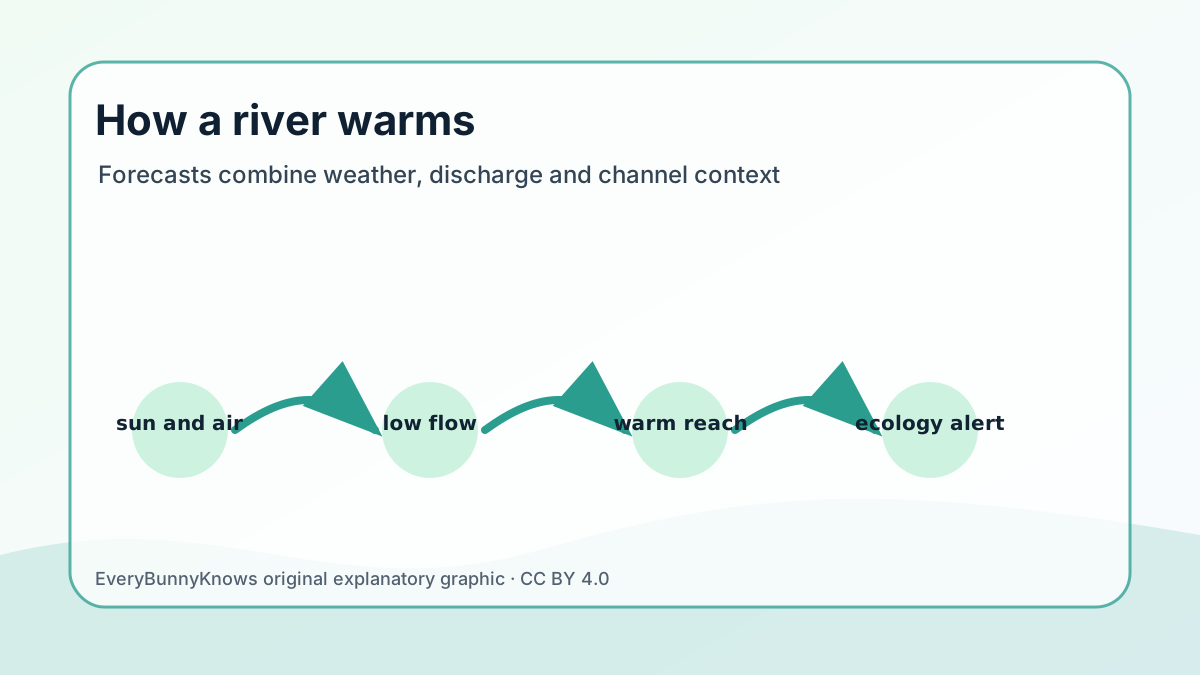
The basic mechanism is simple, but the modelling problem is not. Rivers gain and lose heat through sunlight, warm or cool air, groundwater, tributaries, channel shape, riparian shade and the amount of water moving downstream. Low flow can make the same hot afternoon more stressful because less water is available to absorb heat. A deep shaded reach may respond differently from a shallow urban reach, even under the same weather forecast. Good forecasting therefore has to connect meteorology with hydrology and local geography, rather than treating a river as if it were a thermometer lying in the open air.
That connection is becoming more practical because many water agencies now have better stream gauges, satellite observations, weather ensembles and computing tools. A model can ingest recent water-temperature measurements, discharge records and predicted air temperature, then estimate whether a threshold may be crossed in the next days or weeks. Some systems can also flag places where the forecast is weak because sensors are sparse or the channel is changing quickly. For managers, the threshold is the useful part: a forecast can trigger fish-passage precautions, temporary changes in reservoir releases, extra monitoring near a power-plant intake or public warnings about heat-stressed waterways.
The evidence base is broader than one model. The U.S. Geological Survey has long treated water temperature as a core water-quality measurement, and agencies such as NOAA and European environmental services increasingly connect heat, drought and river flow in climate-risk planning. Ecologists use temperature because it governs dissolved oxygen, metabolism, disease risk and the timing of aquatic life cycles. Geography adds the spatial question: which reaches warm fastest, which communities depend on them and where shade, groundwater or flow management can realistically reduce risk?
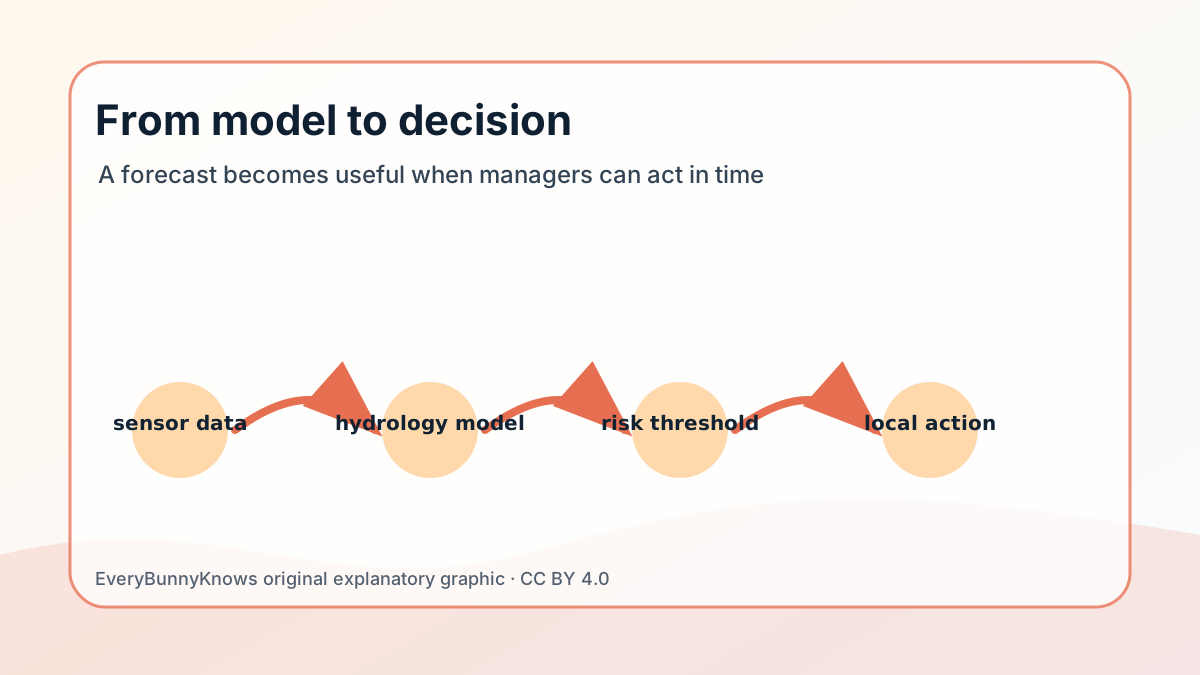
There are limits. A forecast is not a promise that one bend in a river will have exactly one temperature at exactly one hour. Local storms, unmeasured groundwater, dam operations, irrigation withdrawals and missing sensors can all change the result. Models are strongest when they are tested against observed river data and when users understand the uncertainty range. They also cannot solve the deeper causes of river warming by themselves: hotter air, altered flows, lost streamside shade and heavier water demand still require policy, restoration and careful planning.
The hopeful part is concrete. A river-temperature forecast gives people a few more days of useful information before harm occurs. It can help a fisheries biologist decide where to focus field crews, a city decide when to communicate swimming risks, or a reservoir operator ask whether a cold-water release would matter. In a warming climate, that kind of early, place-specific knowledge is not dramatic. It is exactly the sort of geography that helps ordinary water decisions become smarter.