The Okavango Delta is a river that spreads into the Kalahari instead of reaching the sea
Botswana’s Okavango Delta turns an inland river into a seasonal wetland mosaic. Its flood pulse, evaporation and cross-border water choices make it a geography lesson in motion.
Nina Kaplan ·
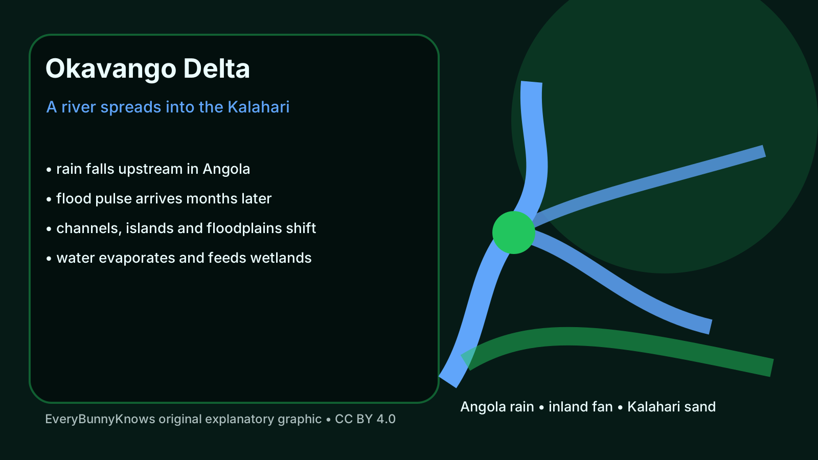
The Okavango Delta upends the usual river story. Water rises mainly in the highlands of Angola, travels down the Cubango–Okavango system, crosses into Botswana and then spreads into the sands of the Kalahari instead of reaching an ocean. UNESCO lists the delta as a World Heritage property because this inland fan of channels, floodplains, islands and lagoons is both spectacular and unusually clear as geography: it shows what happens when a river loses gradient, slows down and gives its water to a dry interior.
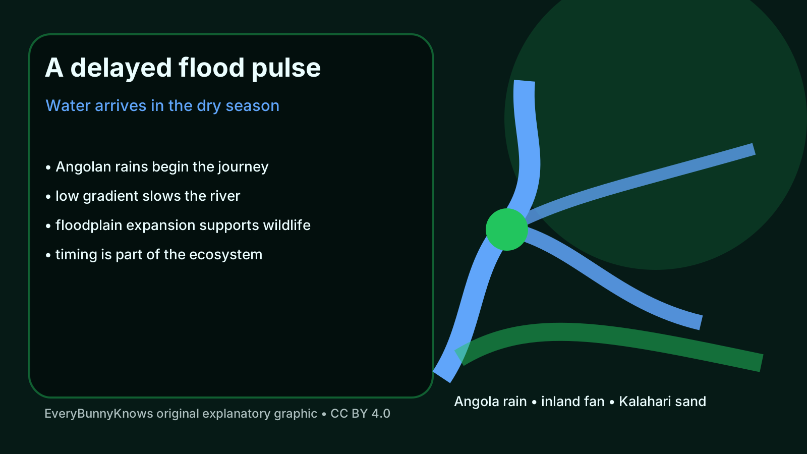
The mechanism is timing. Rain falls upstream months before the largest flood reaches much of the delta. By the time the pulse spreads across northern Botswana, the local dry season is often underway. That delay turns the wetland into a refuge just when the surrounding landscape is thirstier. Channels fill, floodplains expand, fish move, grasses grow, and wildlife follows the changing edge between water and land. The delta is therefore not a fixed blue patch on a map. It is a seasonal pattern that advances, pauses and retreats.
Its shape is also built by small forces repeated over large areas. The gradient is extremely gentle, so sediment, papyrus, reeds, termite-built islands, animal paths and old channels can all influence where water goes next. Some water infiltrates, much evaporates or is transpired by plants, and dissolved minerals are concentrated or trapped in ways that help keep large parts of the system fresh enough for life. A delta without a sea still has a water balance, and that balance is delicate.
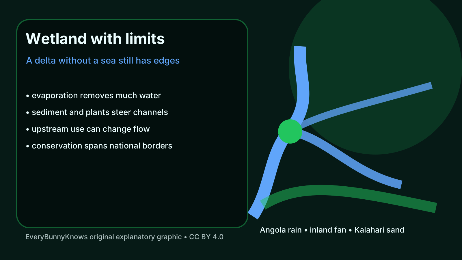
The human geography is just as important. The river basin links Angola, Namibia and Botswana, while the wetland supports local livelihoods, tourism, conservation areas and globally important biodiversity. Decisions far upstream about abstraction, development, roads or climate adaptation can eventually be felt downstream. That does not mean every use is automatically harmful; communities need water and opportunity. It does mean the delta cannot be protected only at its visible end. Its health depends on a whole basin. For maps, this is a warning: the most visible wetland is only the final expression of rainfall, soils, channels and political choices made across a far larger catchment.
There are limits to the wonder. Flood extent varies naturally from year to year, and climate change may alter rainfall, heat and evaporation in ways that are difficult to forecast precisely. Tourism can fund conservation but also concentrate pressure if poorly managed. Wildlife abundance is not proof that the system is invulnerable; it is evidence that the timing, space and water quality have so far remained good enough for a remarkable web of life.
The Okavango’s hopeful lesson is not that nature solves scarcity by magic. It is that a river can create abundance when its slow movement, local knowledge and basin-scale stewardship are respected. To understand the delta is to see water as a journey rather than a commodity at one point of use. The river’s endpoint is not a line on the coast, but a living, shifting agreement between rain, sand, plants, animals and people.