Robots that map a room and identify what it is made of
Material-aware mapping combines LiDAR, cameras and beyond-visible sensing so robots can label walls, pipes, water, debris or insulation while building a 3D map. The hard part is calibration in dirty real sites.
Tereza Field ·
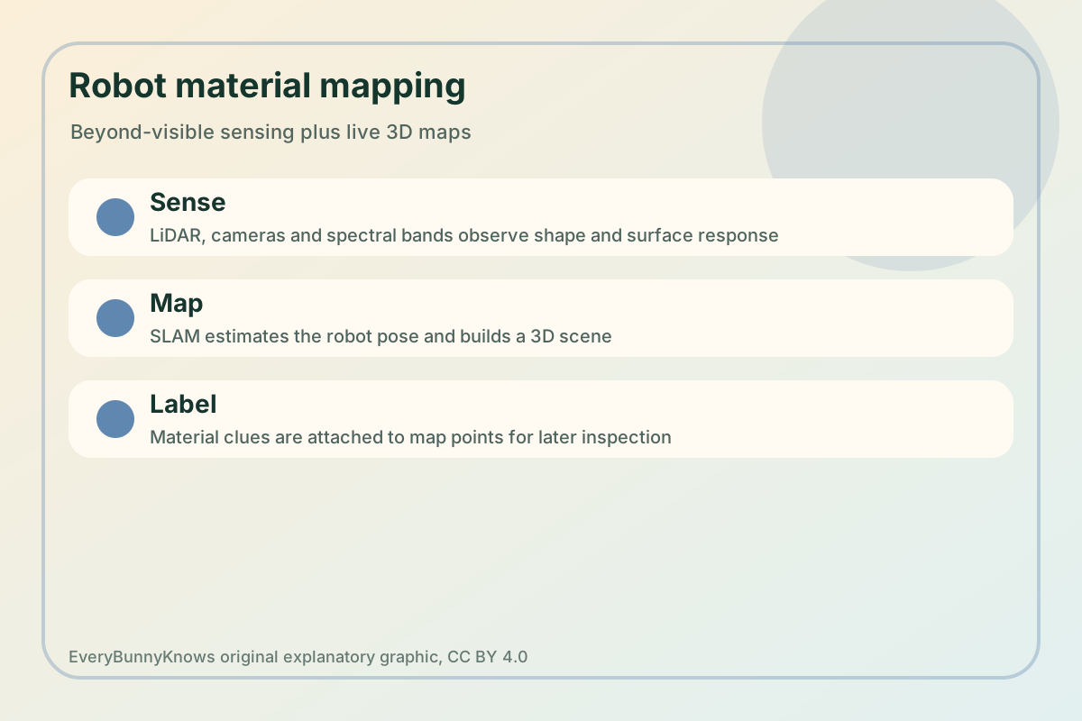
A robot sent into an unknown building usually has to answer two questions at once: where am I, and what am I looking at? The first question is the classic mapping problem. The second is harder, because a safe inspection is not only a cloud of points. A pipe, a puddle, a painted wall, insulation, glass, metal and loose debris may have similar shapes but very different meanings for a maintenance team. The new technology story is about combining live 3D mapping with sensors that see beyond ordinary colour, so a robot can attach material labels to the map it is making.
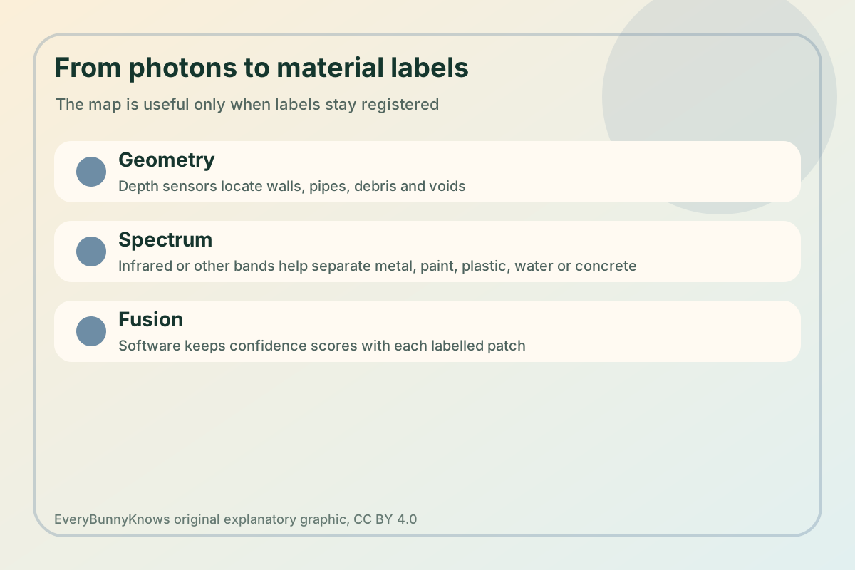
The mechanism starts with SLAM, simultaneous localization and mapping. A robot compares camera frames, lidar scans or depth images as it moves, estimates its own pose, and updates a three-dimensional model of the space. That map becomes more useful when it is fused with material evidence. Near-infrared, thermal, ultraviolet, polarization or multispectral measurements can reveal differences that a normal RGB camera misses. Software then tries to keep every label registered to a physical patch: this wall-like surface may be concrete, this shiny cylinder may be metal, this dark patch may be water or oil.
For hazardous sites, that matters. Nuclear facilities, rail tunnels, collapsed industrial rooms and chemical plants often contain areas where sending a person first is expensive or risky. A robot that can map geometry and flag likely materials could help crews decide which route is blocked, which surface may be contaminated, where water is collecting, and which components deserve a closer inspection. The payoff is not a theatrical humanoid. It is a more informative survey before a human team enters.
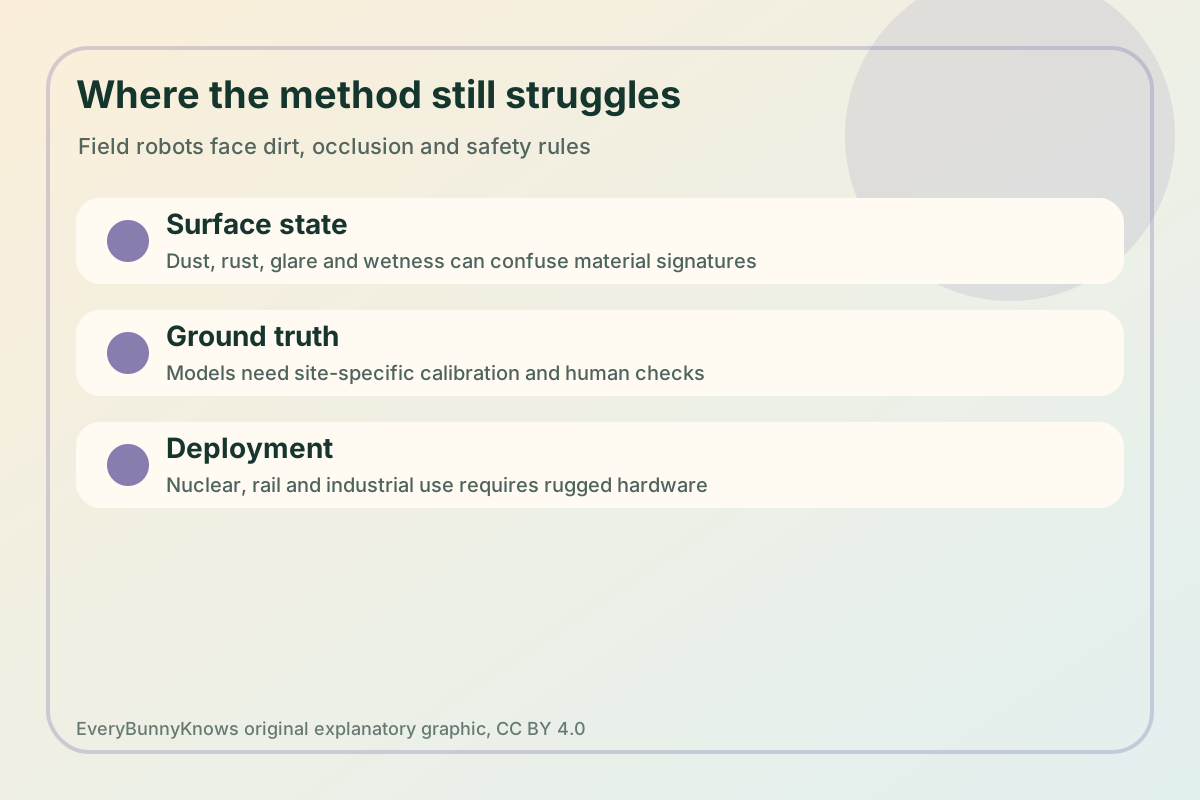
The maturity is best described as research and field-oriented prototype work rather than a general commercial sense of sight. Material recognition depends on training data, lighting, surface condition and the distance between sensor and object. Dust, corrosion, paint, wetness, glare and smoke can change the signal. A plastic cover may hide a metal part; a wet concrete floor may look different from a dry one. In high-consequence settings, a label should be a confidence score and a prompt for verification, not a final verdict.
Manufacturing and deployment limits are practical. Spectral cameras and rugged lidar add cost, weight, power draw and calibration needs. Robots need batteries, traction, radiation or heat tolerance, secure data links and a way to recover if they fail. Inspection teams need software that records coordinates, timestamps, sensor settings and uncertainty instead of producing a pretty but unverifiable map. Regulators and site owners will also ask how the system was validated against known materials.
The hopeful part is bounded but real. Robots do not have to replace expert inspectors to make difficult places safer. If they can build a map, mark likely materials, and show where confidence is low, they can turn a first visit into a better plan. The most useful systems will likely be boringly auditable: every label linked to a sensor reading, a location and a human review step. In infrastructure work, seeing a little more clearly before people step inside can be progress enough.