Simulation reveals how Alpine glaciers carried rocks across Switzerland 24,000 years ago
A University of Lausanne reconstruction treats erratic boulders as witnesses of the Last Glacial Maximum, testing how vanished ice streams moved rock through Alpine valleys and onto the foreland.
Simon Glass ·
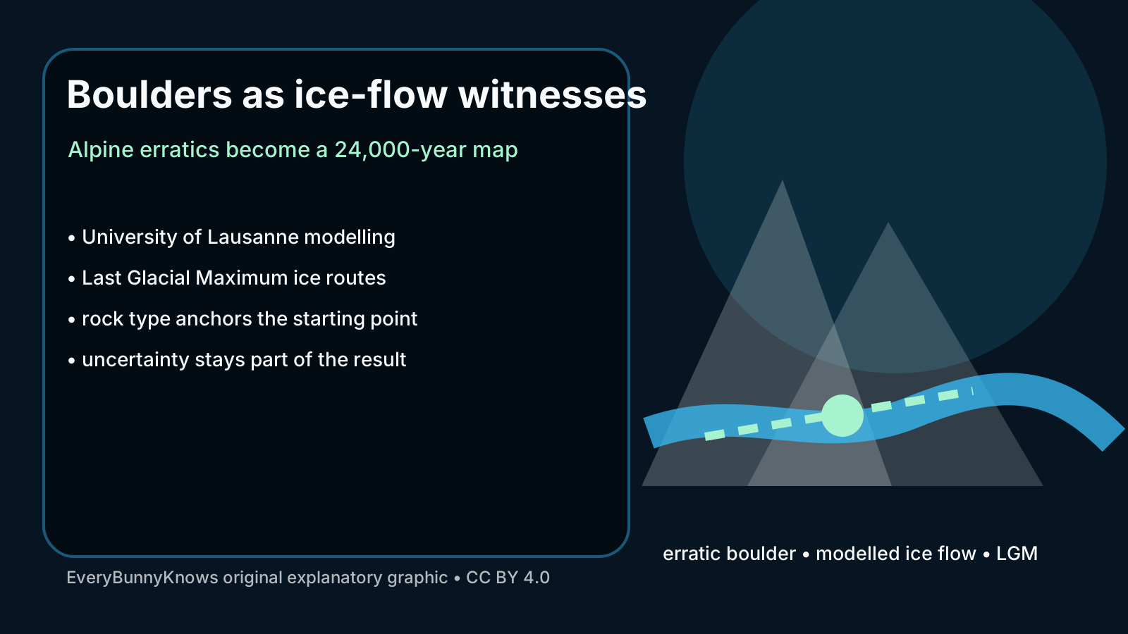
A boulder sitting in a Swiss field can look like the opposite of movement. For glacial scientists, that stillness is the clue. Researchers at the University of Lausanne have used simulation to reconstruct how Alpine glaciers transported rocks across the landscape roughly 24,000 years ago, near the Last Glacial Maximum, when ice filled valleys and reached far beyond many present-day glacier fronts. The study turns scattered stones into a map of vanished, moving alpine ice flow.
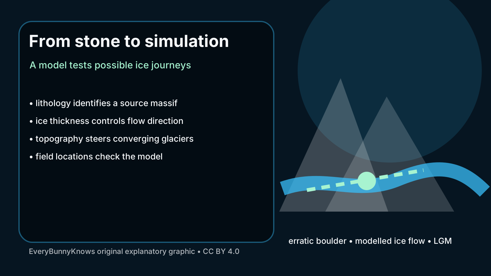
The method begins with erratic boulders, rocks whose composition does not match the place where they now rest. If a granite, gneiss or other distinctive rock can be linked to a source massif, its present location becomes a question: what path could ice have taken to carry it there? A numerical glacier model then tests possible ice thicknesses, flow directions and junctions between valleys. The model is not guessing a picturesque route. It is asking whether physics and topography can move the stone from source to destination within a plausible Ice Age landscape. The answer also depends on the order in which tributary glaciers met, because a boulder carried near the surface or along the bed may end up on a different side of a valley once two ice streams join.
This is why the Alps are such a powerful laboratory. Mountain glaciers do not flow as simple white ribbons. They merge, split, thicken behind thresholds, spill into foreland lobes and respond to valley shape. During the Last Glacial Maximum, Alpine ice networks were larger and more connected than the small glaciers tourists see today. A rock picked up high in one drainage could be carried through a confluence, shifted sideways by another ice stream and deposited far from the valley a modern map would suggest.
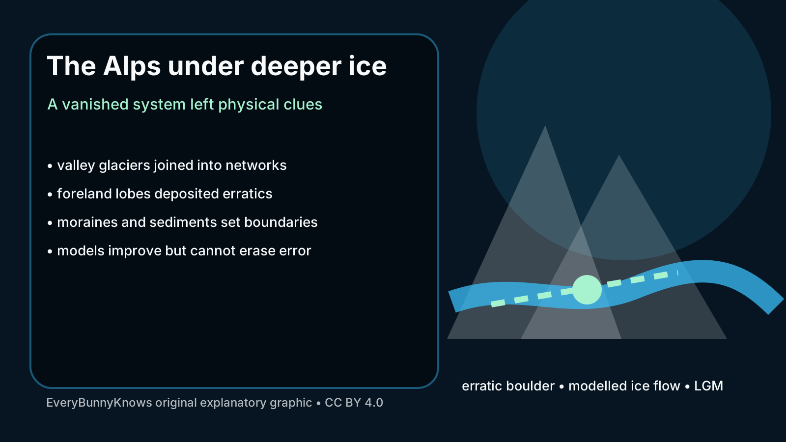
The reader payoff is broader than one stone’s journey. Erratics, moraines and sediments help researchers reconstruct past ice extent, which in turn tests climate models and improves understanding of how mountain landscapes remember cold periods. If a model can reproduce the paths implied by real boulders, it gains credibility. If it cannot, the mismatch points to missing ice thickness, wrong timing, unrecognized topography or an incomplete source assignment.
There are limits. Twenty-four thousand years is an estimate within a complex glacial chronology, and boulders can be reworked, buried, exposed or misidentified. The shape of the bed beneath former ice is also imperfectly known, especially where later erosion and human activity have altered the surface. A simulation therefore narrows possibilities rather than replaying the past like a film.
The hopeful part is methodological. A landscape that appears silent still contains testable records. By combining field geology with computer models, scientists can make old ice visible enough to question it. That matters today because the Alps are warming quickly, and the last remnants of modern glaciers are retreating. Understanding the much larger ice systems of the past does not stop that change, but it gives communities and researchers a longer memory of how mountains, water and climate move together.