Smarter land-use maps can reveal where nature, climate and livelihoods align
A global analysis of 146 countries shows why land-use planning works best when biodiversity, carbon and livelihoods are mapped together.
Ivy Stone ·
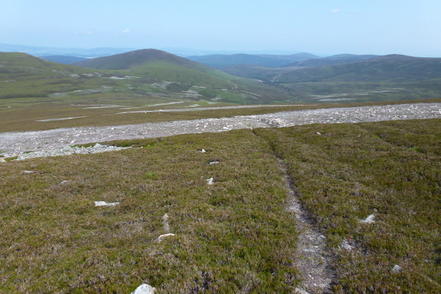
Land-use planning can sound technical, but it begins with a simple question: what should happen where? A forest edge, a wetland, a pasture, a road corridor and a growing town can all compete for the same space. The hopeful part of a recent global analysis, reported from work covering 146 countries, is that these choices are not always a zero-sum game. When biodiversity, climate mitigation and economic benefits are mapped together, some places emerge where a careful land decision can help more than one goal at once.
The important word is “where.” A national target can promise more protected land, more carbon storage or higher rural income, but land itself is uneven. One valley may hold threatened species and carbon-rich vegetation while offering limited farming returns. Another area may be crucial for food production and less suitable for strict protection. Good planning does not erase these differences. It makes them visible before roads, plantations, mines, restoration projects or protected areas harden into facts.
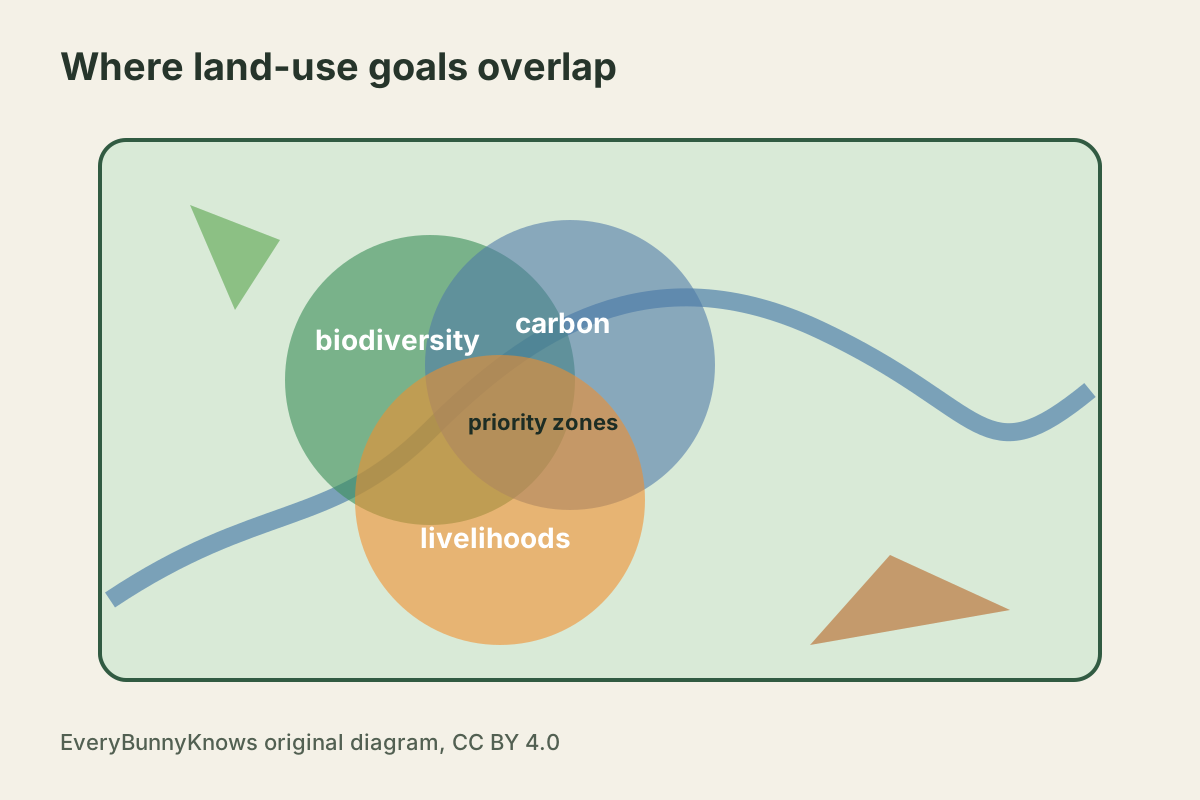
The mechanism is a form of spatial accounting. Researchers combine data layers: where species or habitats are concentrated, where ecosystems store or could store carbon, where land contributes to livelihoods, and where conversion or restoration would carry costs. The result is not a magic map that tells a government what to do. It is a way to compare trade-offs honestly. A place that looks cheap for carbon planting may be socially costly if it displaces grazing or customary use. A place that seems economically attractive for expansion may be expensive in biodiversity loss. The strongest opportunities are the places where the layers point in the same direction.
This matters because international promises often arrive as percentages. The Kunming-Montreal Global Biodiversity Framework calls for conserving at least 30 percent of land and inland waters by 2030. Climate plans count carbon in forests, soils and wetlands. Development plans count jobs, food and infrastructure. If each target is pursued separately, the map can become crowded with contradictions. Smarter land-use analysis asks whether the same hectare can support several aims, or whether a promise in one column quietly creates a loss in another.
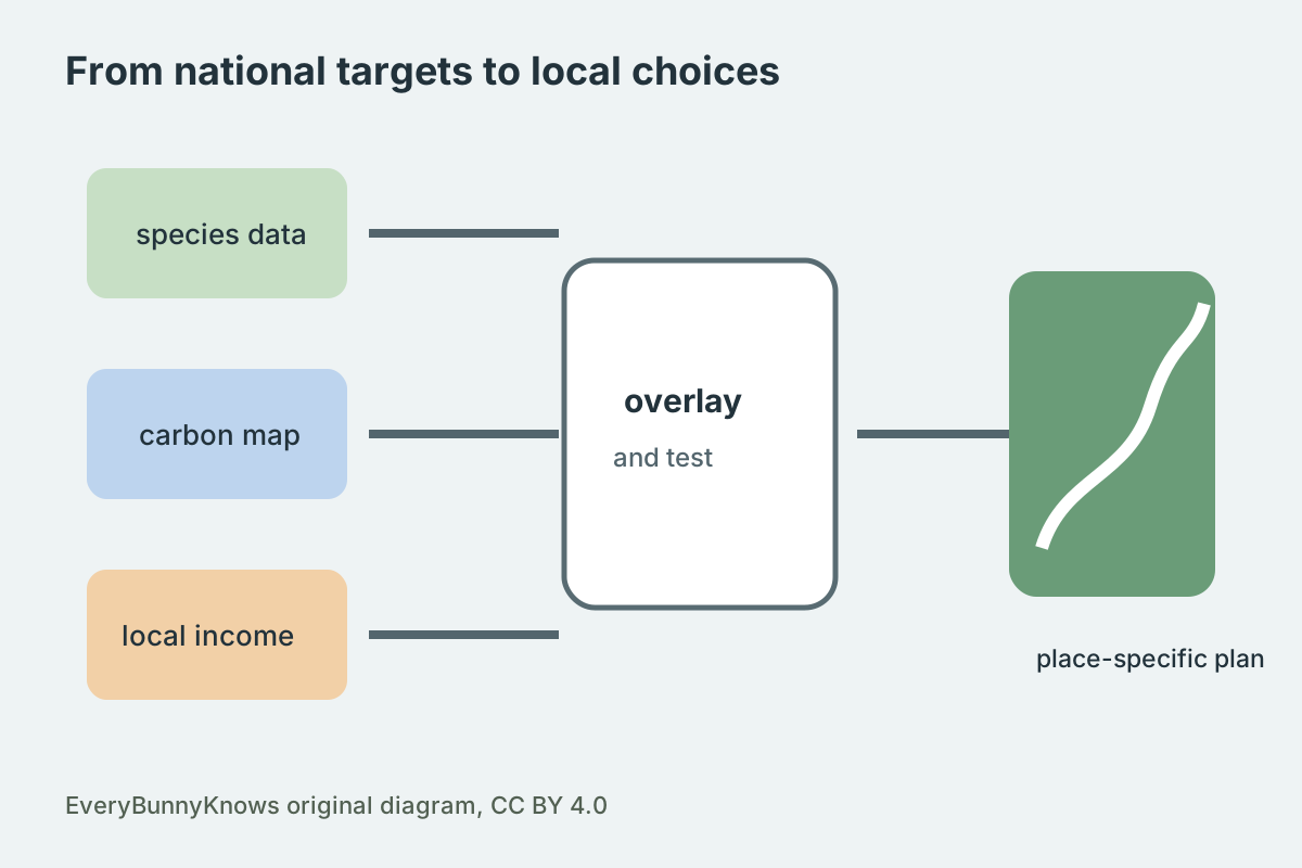
The limits are practical and ethical. Global datasets can miss local tenure, Indigenous governance, seasonal use, informal economies and small habitats that matter greatly on the ground. Economic gains are not automatically fair gains, and restoration can become harmful if it treats inhabited landscapes as empty. The best use of these maps is therefore not command from above, but better questions for public planning: who benefits, who bears the cost, what rights already exist, and which places offer genuine overlap? The promise is quieter than a grand target, but more useful. It shows that geography can turn competing ambitions into a more precise conversation.