Spain's Mediterranean Hidden Gem: Cadaqués and Cap de Creus
Cadaqués and Cap de Creus reward a slower Costa Brava day: white lanes, folded rock, a precise OpenStreetMap point and food that tastes of the Empordà coast.
Marco Linden ·
Cadaqués does not hide because it is unknown. It hides in a better way: at the end of a winding road on the Costa Brava, beyond the last easy turn-off, where whitewashed lanes drop toward a small bay and the Pyrenees meet the Mediterranean as bare stone. The town is famous enough to be loved, yet small enough that the best way to understand it is still on foot, slowly, between harbour light, slate roofs and the dry scent of Cap de Creus.
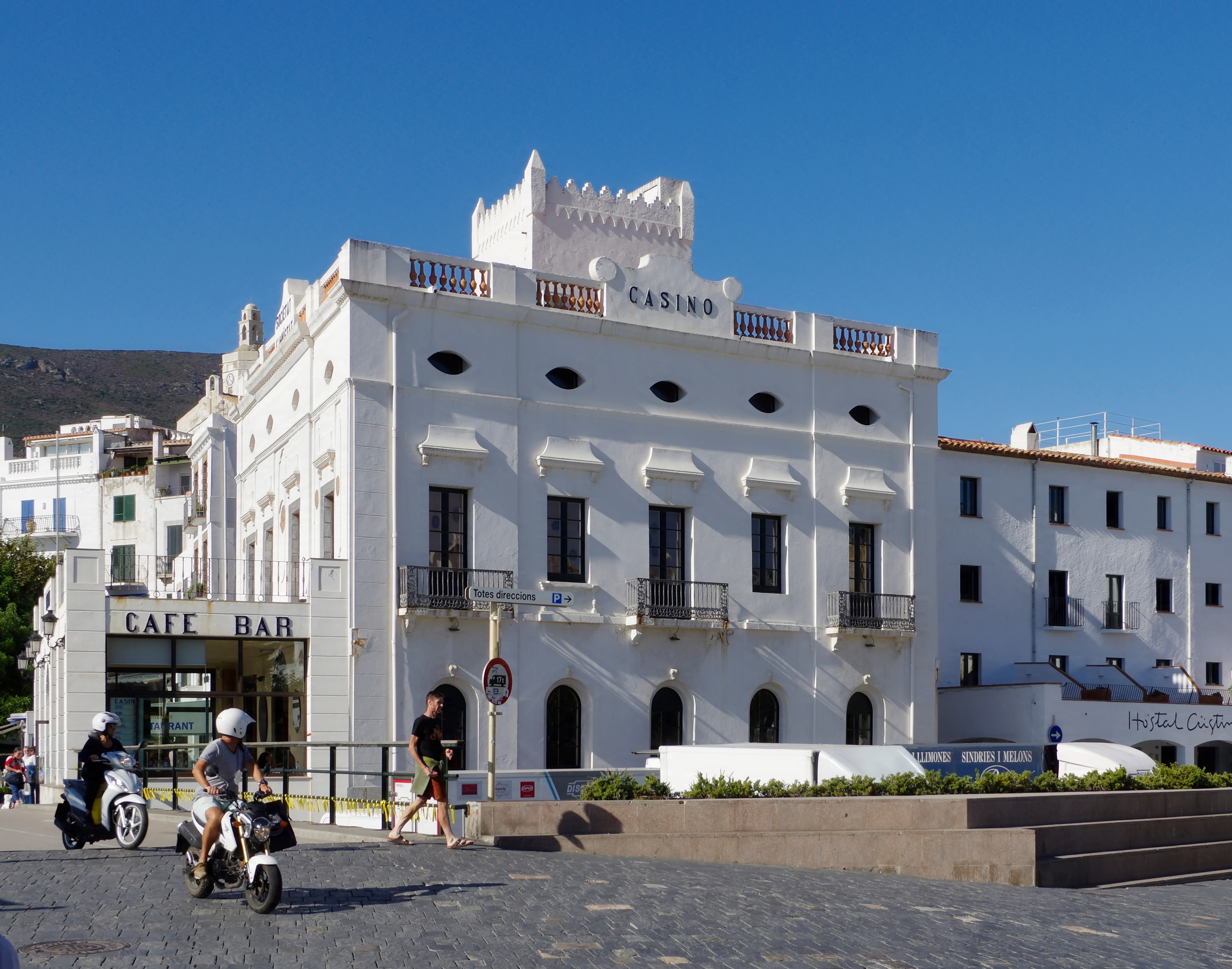
Start in Cadaqués itself. Walk the waterfront early, before the day becomes busy, then climb into the narrow lanes behind the church of Santa Maria. The pleasure is not a single monument but the way the village is arranged: bright walls, stone steps, glimpses of blue water and small turns that keep returning you to the harbour. The church of Santa Maria helps anchor that walk: its high position, seaward views and ornate Baroque altarpiece remind visitors that Cadaqués was a working coastal community before it became an artists' address. Outside the busiest weeks, the same route feels especially clear in the morning light, when deliveries, cafés and fishing boats still set the pace of the waterfront. From there, continue toward Portlligat, the quiet cove associated with Salvador Dalí, or use Cadaqués as the gentle base for a longer walk into Cap de Creus Natural Park. Portlligat is not only a name from art history: Dalí's former house-museum grew from fishermen's huts around a small bay, so booking ahead and walking there from town keeps the visit on the scale of the place rather than turning it into a quick photo stop.
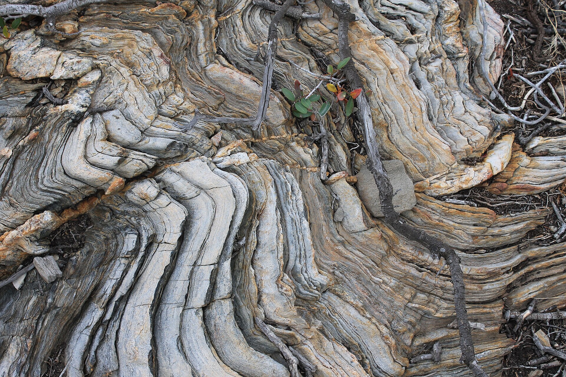
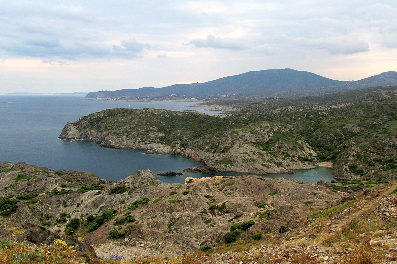
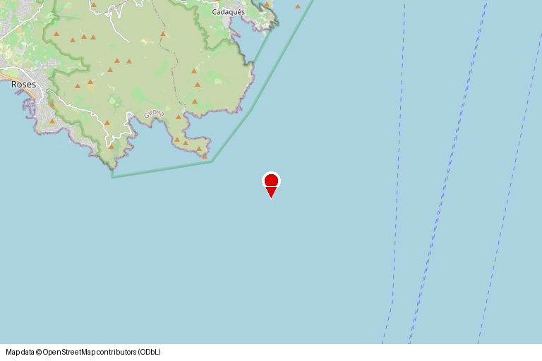
Cap de Creus changes the mood. The headland is rougher, windier and more geological than the postcard version of the Mediterranean. The park's value is also ecological: visitors are asked to stay on marked paths, avoid collecting plants or stones and respect fire and bathing rules, because the same wind-cut scenery is fragile habitat, not empty scenery. Paths cross folded rock, low scrub and views that feel open in every direction. That is why the map matters: the pinned point at 42.2888, 3.2770 places the story not in a generic seaside Spain, but on the edge where Cadaqués, Portlligat and the Cap de Creus landscape meet.
Food gives the route a local rhythm. Look for anchovies from the wider Empordà coast, simple grilled fish, suquet-style seafood stews or rice with seafood after a walk. None of it needs to be framed as luxury. The point is that the landscape and the table explain each other: salt, wind, rock, small boats, short distances and patient cooking.
Cadaqués is therefore a hidden gem in the practical sense, not the clickbait one. It rewards visitors who choose a slower day, accept limited parking and narrow roads, and treat Cap de Creus as a real protected landscape rather than a backdrop. The evidence is visible: a walkable harbour town, a marked headland, local food traditions and a map point precise enough to plan around.