How Gondwana’s breakup helped make an icy Antarctica
Antarctica was not always an ice continent. New modelling shows how Gondwana’s breakup opened ocean gateways, changed circulation and helped cool the south pole.
Ada Brooks ·
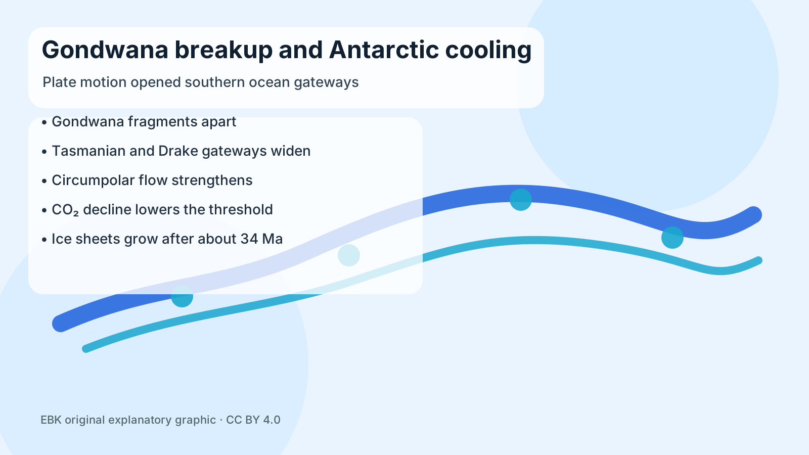
For most of its history, Antarctica was not the white continent in school atlases. It was part of Gondwana, the southern supercontinent that also carried Africa, South America, India, Australia and Zealandia. Forests once grew on land that is now buried below kilometres of ice. The question for geographers is not simply when that changed, but how a rearrangement of continents could turn a once-green polar landmass into the cold engine of the Southern Hemisphere climate.
Recent Antarctic research, including work by Durham University scientist Guy Paxman and colleagues, points to a slow chain of causes rather than a single dramatic trigger. As Gondwana broke apart after roughly 180 million years ago, Antarctica became more isolated. Australia and Zealandia moved north, South America pulled away, and the ocean passages around the continent gradually widened. Those new gateways altered how heat moved between the tropics, the Southern Ocean and the polar interior.
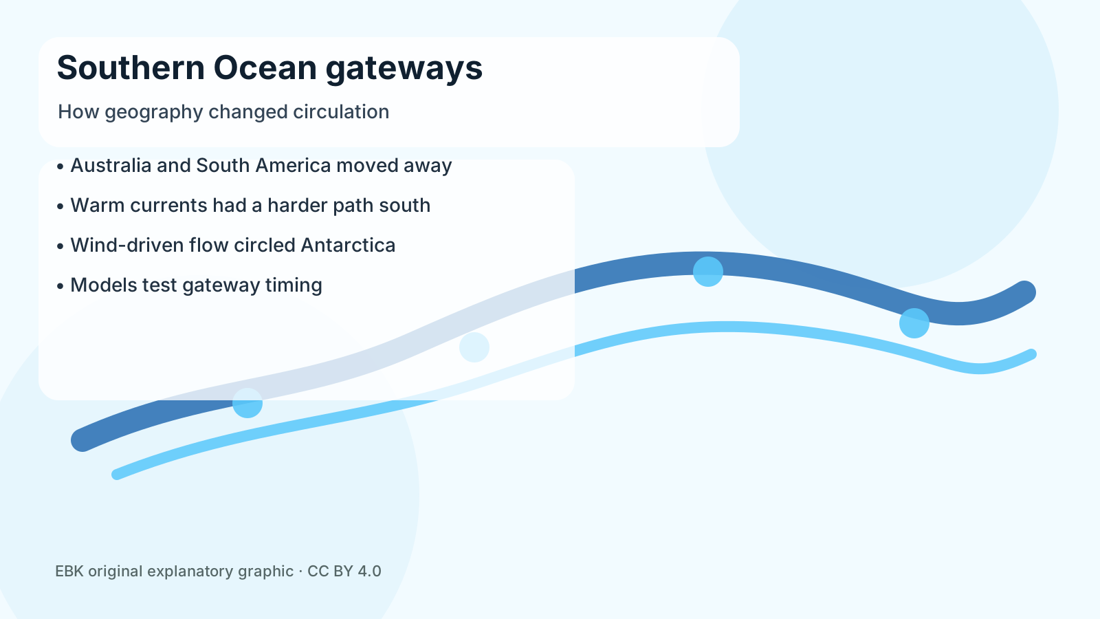
The mechanism matters because geography and climate worked together. When the Tasmanian Gateway and later the Drake Passage became deep and wide enough, winds could drive stronger circulation around Antarctica. A more continuous current helped limit the delivery of warm surface water to the continent. At the same time, long-term carbon dioxide levels were falling because of weathering, burial of carbon and changes in volcanic outgassing. The planet was moving closer to a threshold at which snow could survive summer and grow into ice.
Antarctica did not freeze overnight. The major step into a lasting East Antarctic ice sheet came near the Eocene-Oligocene boundary about 34 million years ago, when marine sediments record a sharp cooling and a growth of global ice volume. Bedrock also mattered. Mountain ranges, basins and high plateaus determined where snow accumulated, where ice could thicken and how glaciers later flowed toward the coast. Tectonics supplied the stage; greenhouse gases, ocean circulation and topography decided when the curtain rose.
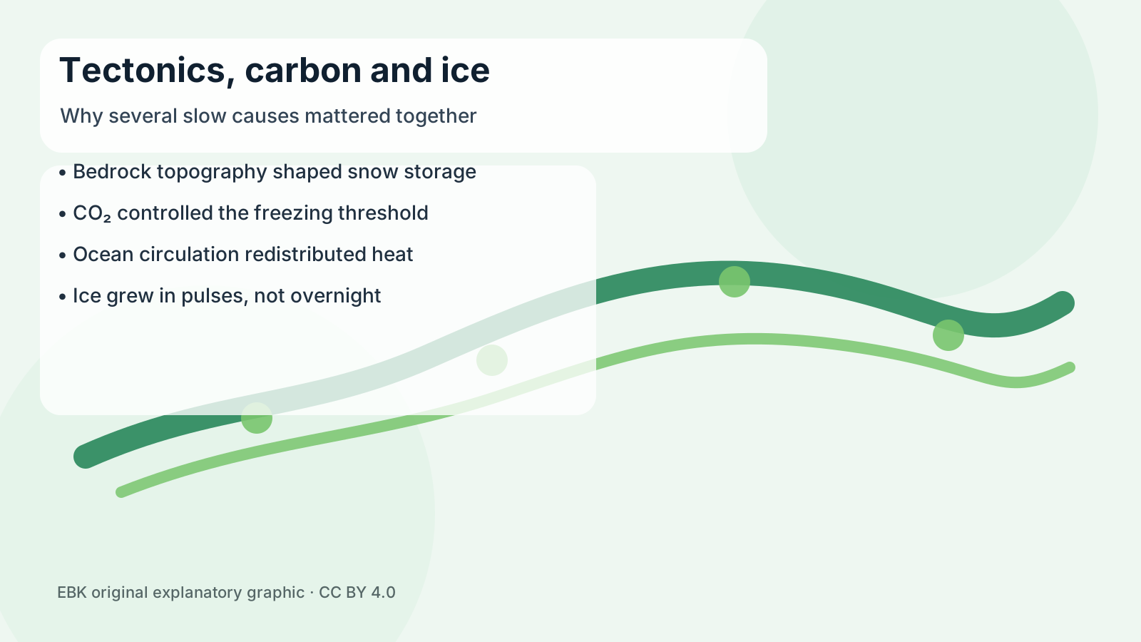
One useful way to read the evidence is to follow the edge of the continent. Continental shelves that once touched other Gondwanan fragments now face deep ocean basins. Subglacial radar reveals troughs and highlands that guided the first ice, while offshore sediments preserve tiny shells and chemical signals from water that cooled. The geography is therefore visible in scattered clues: a buried valley here, a drilled core there, and a model that asks whether the pieces fit together.
There are limits to the story. Scientists still debate the exact timing and depth of southern ocean gateways, and climate models do not all give the same weight to currents, carbon dioxide and ice-sheet feedbacks. Rock cores and seismic surveys are sparse because much of the evidence sits beneath ice or deep water. That uncertainty is why the Gondwana hypothesis is useful: it gives researchers testable geography, not a neat myth.
The hopeful part is that Antarctica’s past is readable. Each better map of buried valleys, each ocean core and each climate simulation helps explain why the coldest place on Earth exists at all. It also reminds us that the map is not background scenery. Over millions of years, the positions of continents can change winds, seas and ice, and those slow changes can still shape the world people inherit.