The Ghost Road of Nagorno-Karabakh
Roads in and around Nagorno-Karabakh show how geography can become a lifeline, a border and a memory of displacement at the same time.
Noah Circuit ·
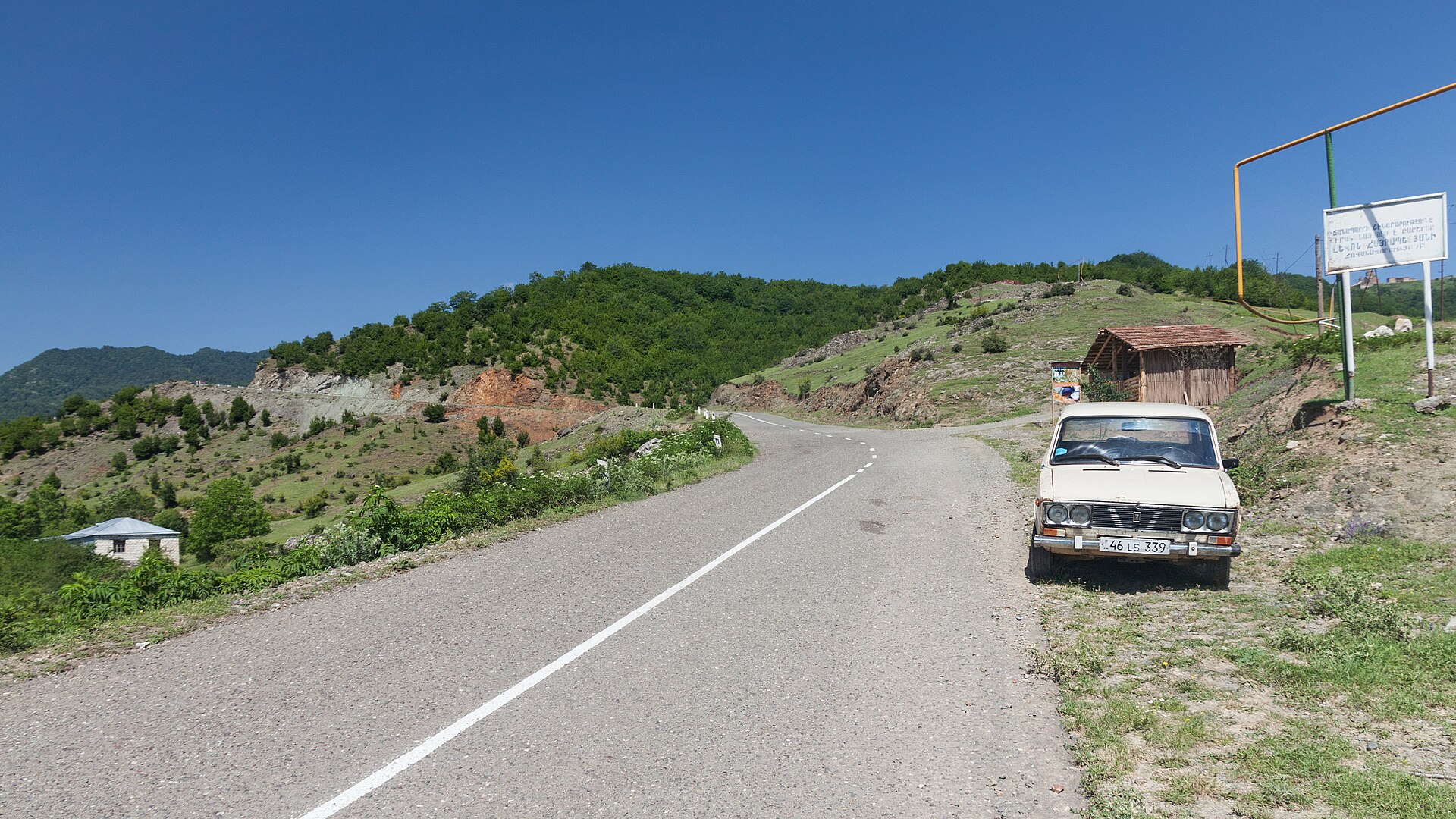
In mountain regions, a road can become more than transport. Around Nagorno-Karabakh, roads have carried food, fuel, family news, official promises, fear and the memory of departure. The best-known route was the Lachin corridor, the road link that connected Armenia with the Armenian-populated enclave for decades after the first Karabakh war. On a regional map it looked narrow. In daily life it was a lifeline, because ridge lines and valleys in the South Caucasus leave relatively few dependable ways through the mountains.
The geography explains why the road mattered so intensely. Nagorno-Karabakh sits in broken highland terrain where settlements, water, pasture and political control are separated by steep slopes and limited passes. Control of one road can shape whether medicine reaches a town, whether relatives can visit, and whether a ceasefire clause can be made real on the ground. After the 2020 war, the ceasefire statement placed Russian peacekeepers along the Lachin route. In 2023, after months of blockade and then Azerbaijan’s military operation, almost the entire ethnic Armenian population fled to Armenia. The route became a path of departure.
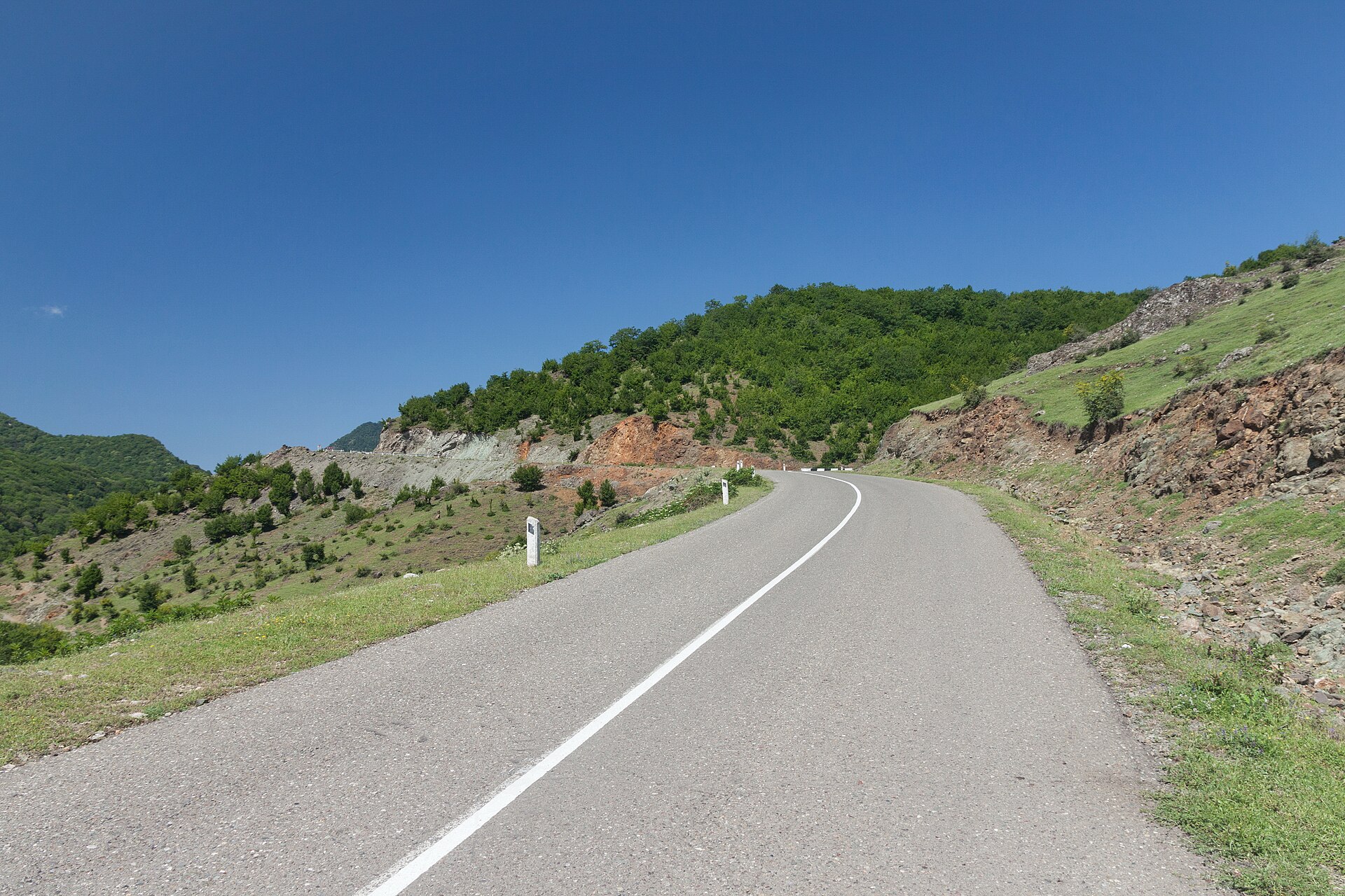
Calling it a ghost road is not only a way to describe emptiness. It points to a layered geography: the visible asphalt, the official border regime, the memory of villages along it, and the administrative future that follows when people leave. Human Rights Watch, the International Court of Justice proceedings, United Nations statements and reporting from humanitarian agencies all describe different parts of that story, but geography supplies the frame. A corridor is not abstract if every alternative route is longer, steeper, politically closed or socially impossible.
A road also changes after displacement. Shops lose passing customers. Schools and clinics lose the people who justified their routes and schedules. Cemeteries, orchards and house keys become separated from the families who know their names. For the receiving towns in Armenia, the same road network suddenly has to absorb housing needs, paperwork, jobs and grief. The map has not simply moved a line; it has redistributed everyday life. Even road maintenance becomes political, because bridges, checkpoints, winter clearing and fuel deliveries decide whether a route is a promise, a pressure point or a memory.
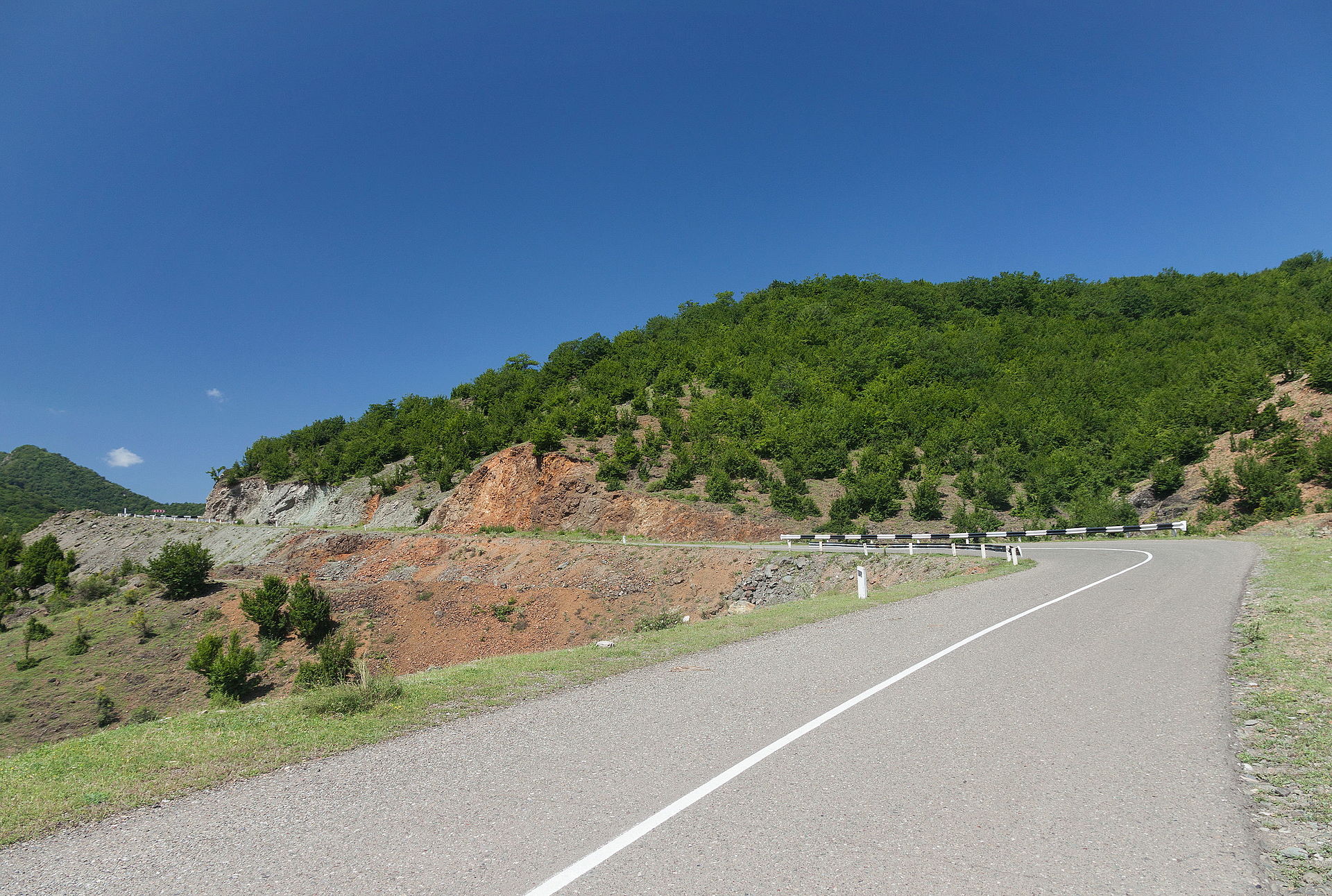
The limits of the phrase matter. A ghost road should not make the people who travelled it disappear, nor should it turn a political conflict into scenery. Roads do not cause conflict by themselves. Decisions by states, armed actors and institutions do that. Yet mountain geography can make those decisions sharper, because access is concentrated into a few physical passages. If return, preservation of heritage, humanitarian access or regional trade is ever discussed seriously, the same question will return in practical form: which road is open, who controls it, and who can travel without fear?