The last mile is where broadband becomes construction, maintenance and trust
Rural broadband is hard not because data cannot travel far, but because sparse homes require poles, trenches, permits, power, crews and business models that survive after the grant is spent.
Lucia Wren ·
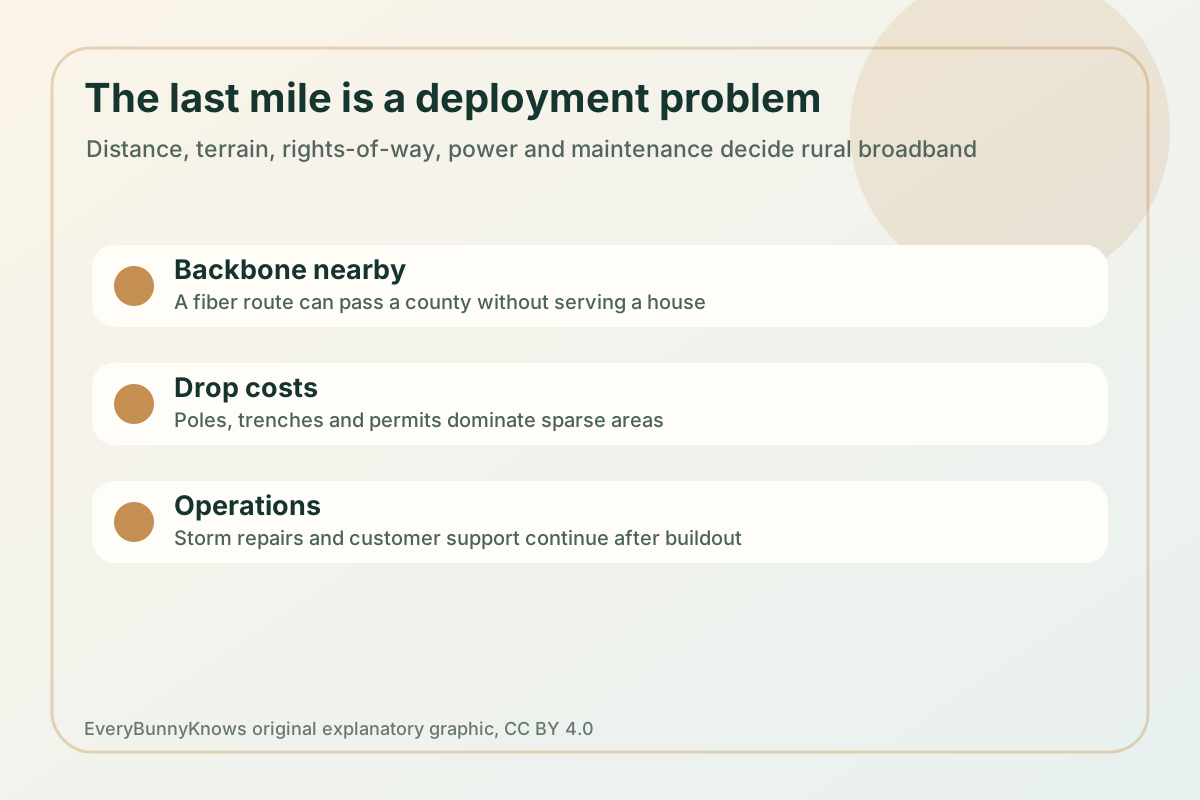
The last mile of broadband is not always a mile, and it is rarely just a cable. It is the final connection between a network that can carry huge amounts of data and a specific home, farm, clinic, school or small business. In a city, many customers share each block of trench, duct, pole line and cabinet. In rural areas, the same kilometre of construction may reach only a few premises. That is why the hard part is often not the physics of moving bits; it is the civil work, rights-of-way, power, maintenance and revenue needed to keep the link alive.
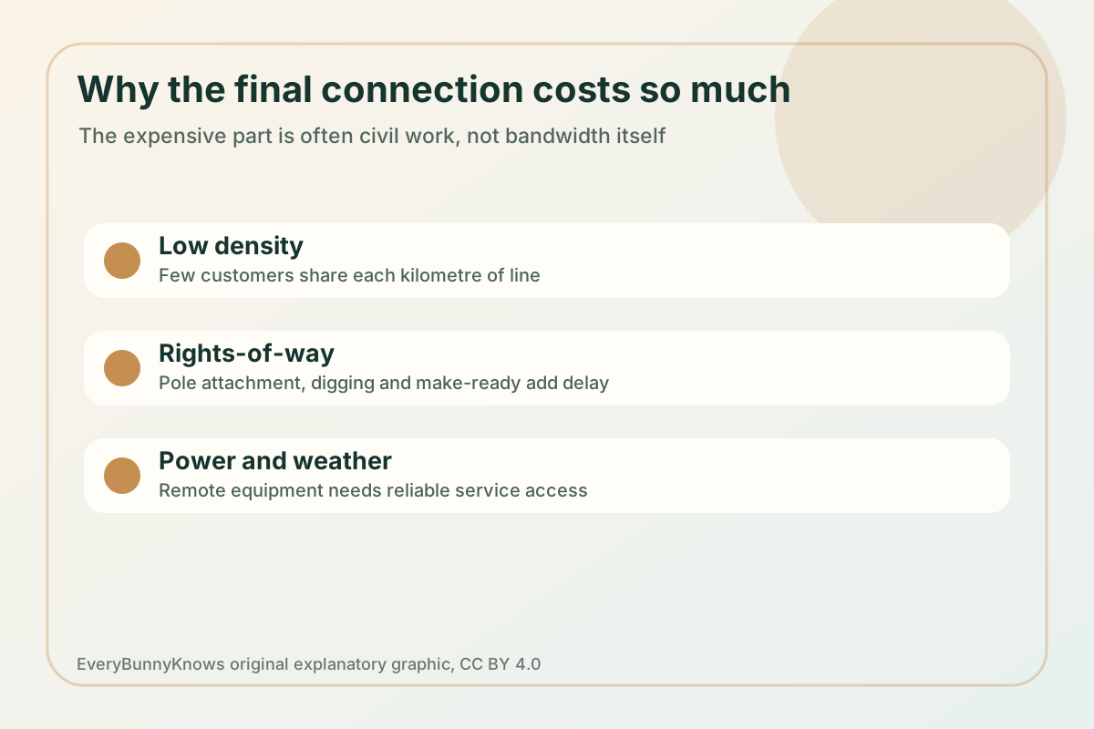
The mechanism begins upstream. A region may already have fibre backhaul along a highway, railway or utility corridor, but that does not mean nearby homes are connected. Providers still need distribution fibre, cabinets, splitters, wireless towers or cable upgrades, then drops to individual buildings. Pole attachment can require make-ready work when old poles are crowded or unsafe. Underground routes need permits, locates, restoration and sometimes rock drilling or water crossings. Remote electronics need power, grounding and access for technicians after storms.
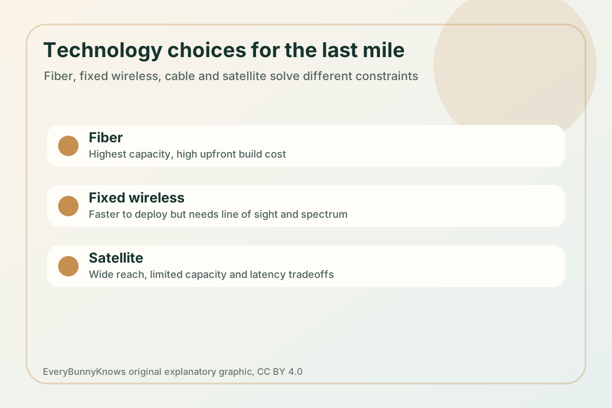
Technology choices solve different constraints. Fibre to the premises offers high capacity and long life, but has high upfront construction cost. Coaxial cable networks can be upgraded where they already exist, but many rural areas never had dense cable plant. Fixed wireless can deploy faster from towers or rooftops, yet it needs spectrum, line of sight, backhaul and enough capacity for evening demand. Low-Earth-orbit satellite can reach isolated places quickly, but capacity, weather, equipment cost and latency still matter. The best answer may differ by valley, island, reservation, mountain road or farm belt.
Public programmes exist because the market signal is weak where homes are far apart. The United States uses FCC maps, universal-service mechanisms and the NTIA’s Broadband Equity, Access, and Deployment programme to target unserved and underserved locations. Similar debates appear in many countries: what counts as served, how to verify real speeds, whether grants favour incumbents or local cooperatives, and how to keep monthly prices affordable after construction. Mapping matters because one wrong polygon can make a household invisible to funding.
Deployment limits continue after the ribbon-cutting. A rural network needs spares, trained crews, customer support, cyber hygiene, backup power and a plan for damaged poles, flooded cabinets or failed radios. Affordability is also part of the engineering outcome. A technically excellent connection that residents cannot buy does not close the digital divide. Schools, telehealth, farm management and remote work depend on reliability and upload capacity, not only a headline download speed.
The hopeful version of last-mile broadband is therefore practical and local. It combines honest maps, durable construction, the right mix of fibre and wireless, fair pricing and maintenance money that lasts for decades. When it works, broadband stops being a national slogan and becomes a dependable utility: a connection good enough for a child’s homework, a clinic visit, a livestock sensor, a local business and a video call that does not vanish when the weather turns.