The Santander–Alar del Rey railway turns Spain's Cantabrian Mountains into a living industrial landscape
The nineteenth-century railway between Santander and the Castilian plateau is not just a scenic old line. Its valleys, gradients, stations and repairs explain how geography still shapes movement in northern Spain.
Ada Brooks ·
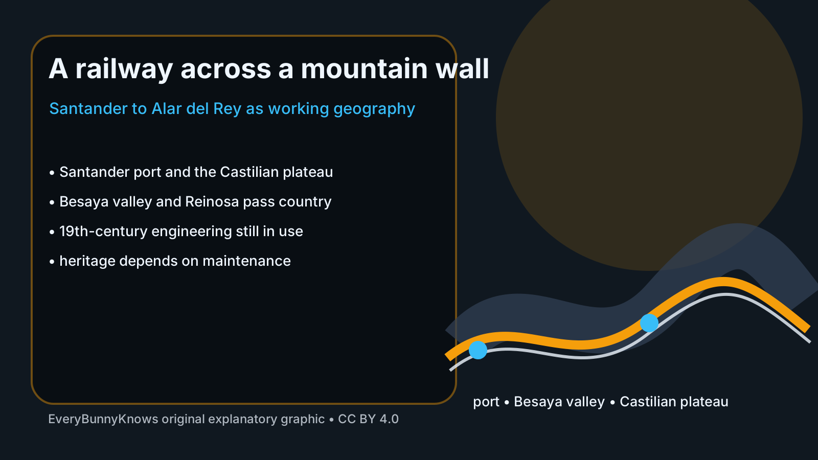
The railway from Santander toward Alar del Rey is easy to romanticize as an old line in a hard landscape. Its real interest is more practical. Built in the nineteenth century to link the port of Santander with the Castilian plateau, the route had to turn the Cantabrian Mountains from a barrier into a working corridor. That is why it belongs in geography as much as in railway history: it shows how trade, engineering and topography negotiated with one another long before modern motorways softened the same problem.
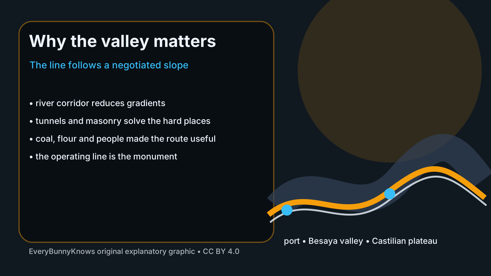
The physical problem was severe. Santander sits on the Bay of Biscay, while Alar del Rey and the wider Castilian network lie beyond a wet, steep mountain wall. A railway cannot climb like a mule track; gradients, curves, bridges and tunnel alignments decide whether steam locomotives can move freight at all. Engineers therefore looked for corridors such as the Besaya valley and the high country around Reinosa, where rivers and passes offered a difficult but readable line through the Cordillera Cantábrica. Every kilometre was a compromise between distance, slope and the cost of making stone, iron and water behave.
The line mattered because Santander was not only a seaside city. Its harbour was a northern outlet for grain, flour, coal, manufactured goods and passengers moving between the interior and the Atlantic world. The railway extended older transport ambitions, including the Canal de Castilla system around Alar del Rey, into an age when iron rails could carry more weight in less time. Historical scholarship even treats sections such as Alar del Rey to Reinosa through the lens of engineers, photographs and construction records, because the route was a technical and visual event as well as a commercial one.
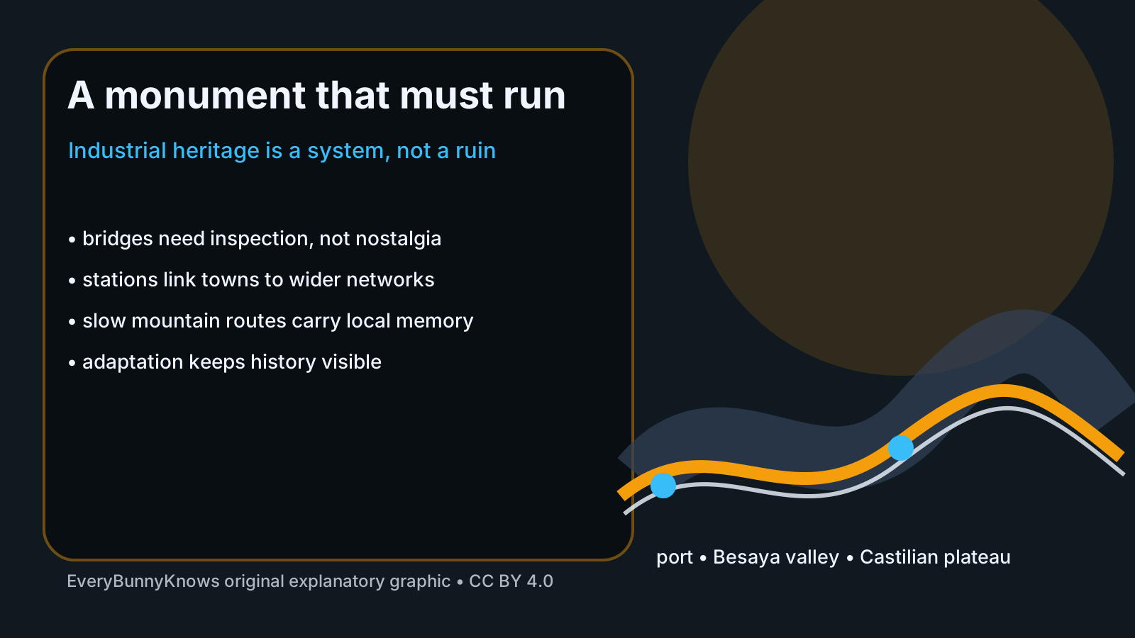
Calling it living industrial heritage is not the same as freezing it as a museum object. A working railway is a system of track, drainage, bridges, tunnels, signalling, stations, timetables and maintenance budgets. If any of those parts fail, the romantic mountain route becomes an inconvenience or a risk. The most honest form of preservation is therefore operational: keeping structures safe, adapting service to today’s population and freight needs, and allowing travellers to read the landscape from a train rather than only from an archive.
There are limits to the story. The Santander–Alar del Rey route should not be treated as a perfect answer to every rural mobility problem, and mountain railways can be slow, expensive to maintain and vulnerable to landslides or extreme weather. Nor was nineteenth-century railway building a purely benign process; it redirected trade, used hard labour and changed towns unevenly. The value of the line is not that the past was simpler, but that its choices remain visible.
For readers, the railway is a reminder that infrastructure is geography made durable. The rails do not conquer the Cantabrian Mountains; they follow weaknesses, respect slopes, cross rivers carefully and require constant repair. In that sense the route is still teaching the same lesson it taught its builders: a region becomes connected not by ignoring its landscape, but by understanding it well enough to move through it responsibly.