The Sunken Villages of Spain
When drought lowers Spain’s reservoirs, villages such as Aceredo and old Mansilla can reappear, revealing how dams traded valley homes for water, power and flood control.
Leo Sato ·
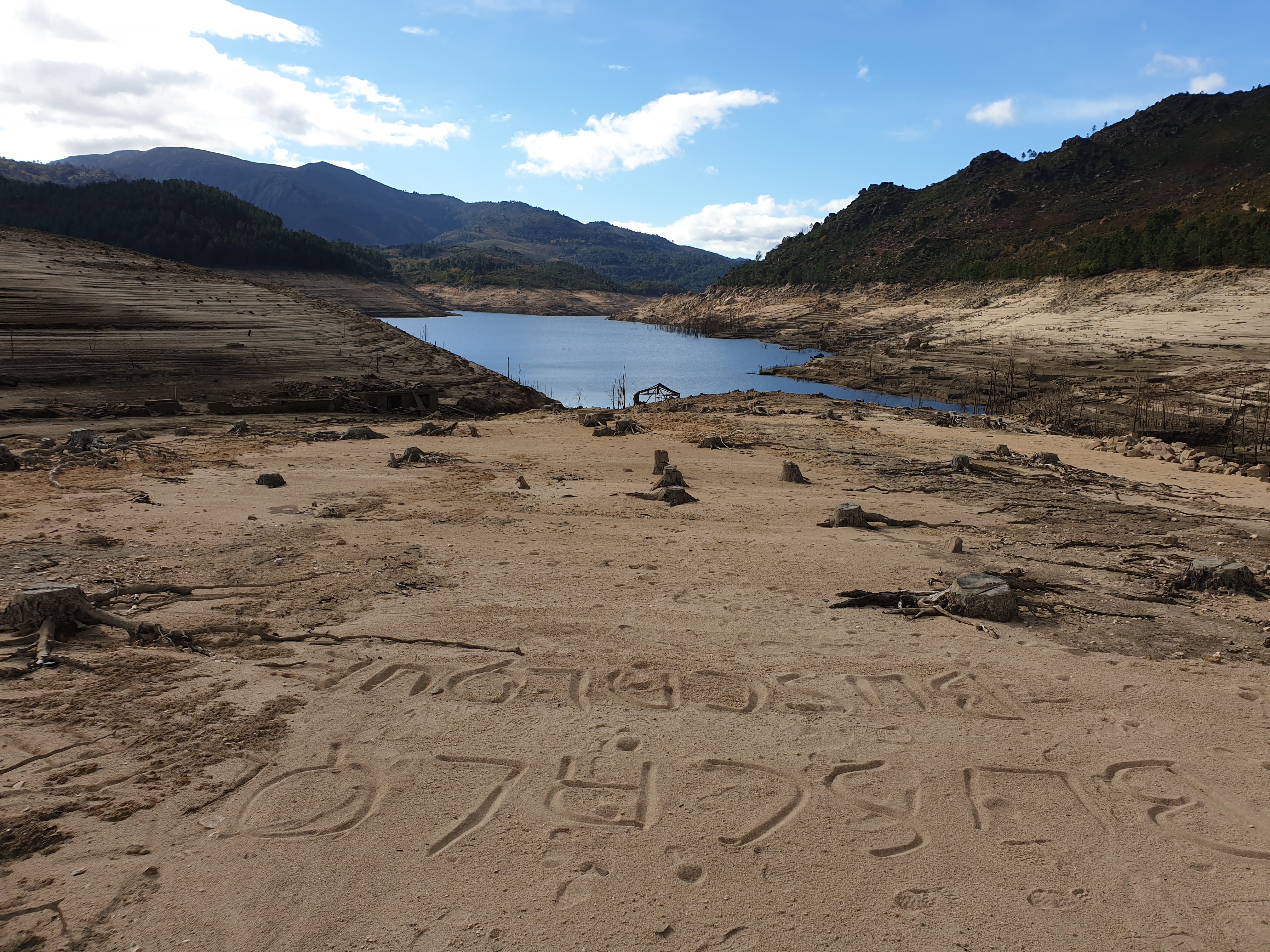
Spain’s sunken villages are not legends. They are real places whose stone walls, roads and church towers sometimes return when reservoirs fall. In Galicia, the old village of Aceredo reappeared during severe drought after being flooded in the 1990s by the Alto Lindoso reservoir on the Lima river system. In La Rioja, the remains of old Mansilla de la Sierra can emerge from the Mansilla reservoir. Across the country, similar sites show how twentieth-century modernization changed valleys as decisively as it changed cities.
The engineering had practical reasons. Reservoirs stored water for irrigation and drinking supplies, generated hydroelectric power, regulated floods and helped a dry country manage uneven rainfall. Spain built many large dams under Franco and in the decades after, treating river valleys as national infrastructure. For towns downstream, that often meant security. For families in the flooded valleys, it meant expropriation, relocation and the end of a familiar landscape.
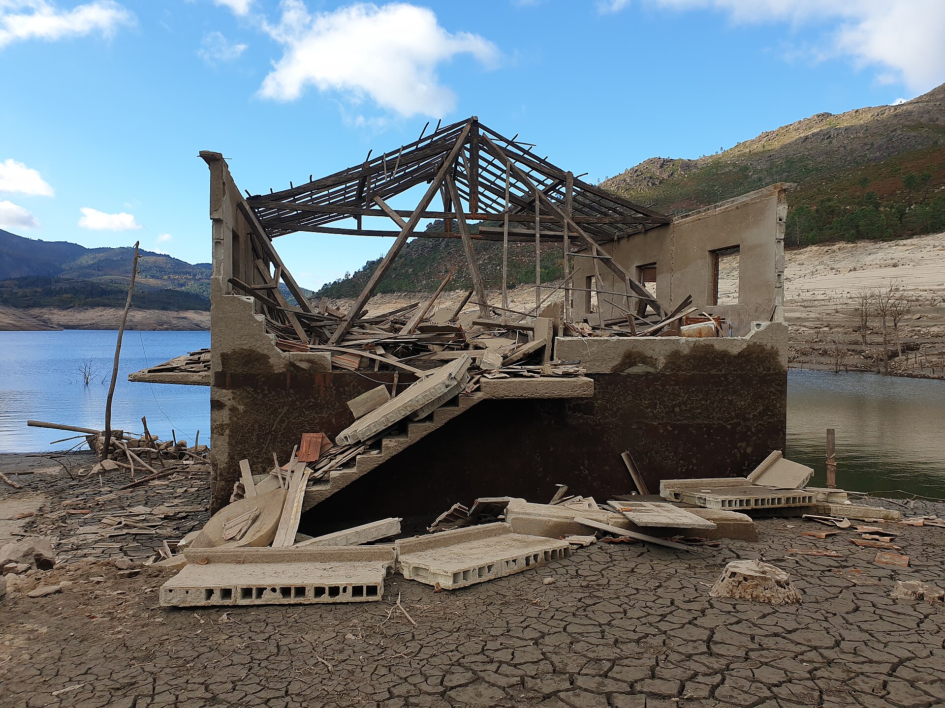
A sunken village becomes visible because a reservoir is a working system, not a still lake. Rainfall, snowmelt, irrigation demand and drought all change the waterline. When levels drop, old streets can appear first as lines beneath the surface, then as mud, walls, bridges and thresholds. The sight is powerful because it reverses the usual story of progress. Instead of looking at a dam and seeing only water management, the visitor sees the community that paid part of the cost.
The lesson is not that reservoirs were useless. Many remain essential in a warming Spain where water stress is becoming more severe and more uneven. The lesson is that infrastructure decisions last for generations. A dam can solve one set of problems while creating another: lost farms, displaced graves, altered river ecology and villages remembered only in photographs until drought makes them visible again.
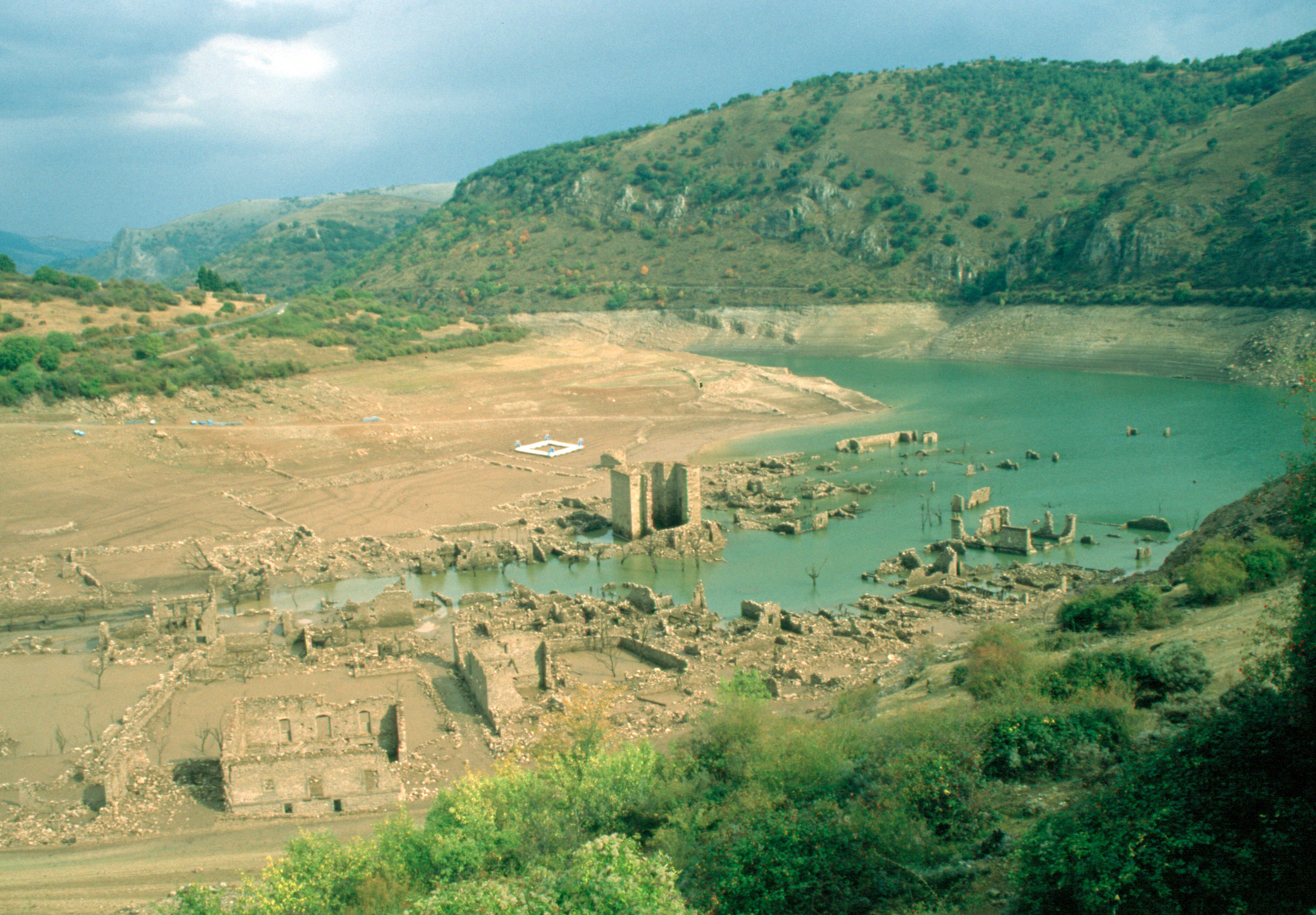
These reappearances have also changed public memory. Former residents and descendants return to walk old lanes, find house foundations and explain to younger relatives where a school, mill or church once stood. Journalists often call the villages ghosts, but they are better understood as archives. They record political choices, engineering confidence, climate variability and the emotional weight of leaving a place because a map has been redrawn by water.
Spain will still need reservoirs, desalination, reuse, irrigation reform and careful watershed planning. But the exposed villages add a humane rule to the technical one: count people, not just cubic metres. When the water retreats and the old stones appear, they ask a simple question that every dry country must face — how to build for the future without treating the past as disposable.
The geography is also changing as droughts become sharper and water demand remains high. Low water can make ruins visible for a season, but it is not a harmless spectacle: it can signal stress for farms, ecosystems, towns and hydropower systems at the same time. That tension is why Aceredo or Mansilla de la Sierra should not be treated only as curiosities for photographers. They are reminders that a reservoir is both a machine and a memory landscape, and that future water planning must weigh climate resilience, river health and community history together.