The Wadden Sea: how tides build a living coastline
On the Dutch, German and Danish North Sea coast, tides move sand and mud twice a day, creating flats, islands and one of the world’s great bird nurseries.
Tomáš Hare ·
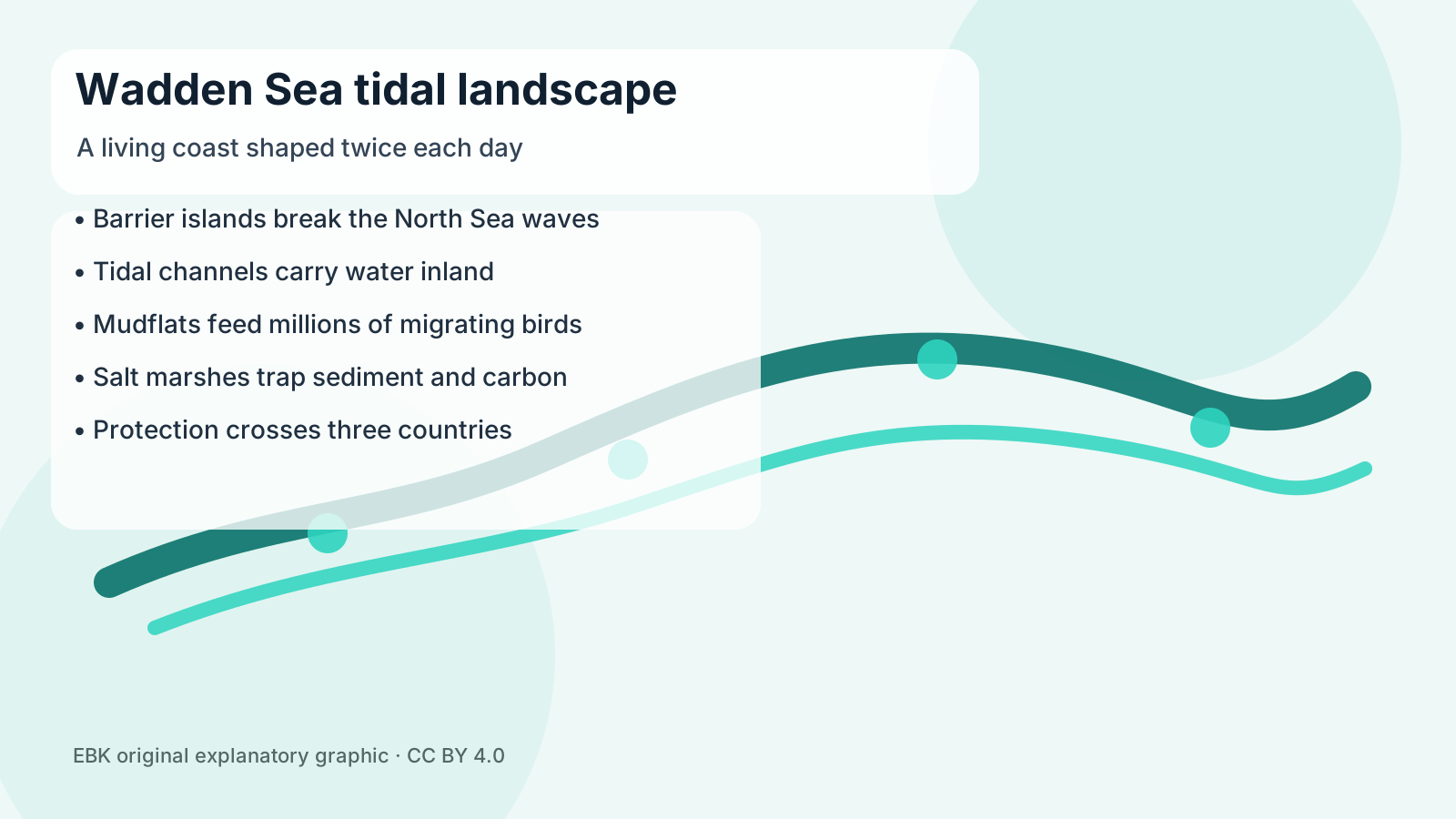
The Wadden Sea is a coastline made by motion. Along the North Sea edge of the Netherlands, Germany and Denmark, the tide rises and falls twice a day across a shallow shelf of islands, channels, sandbanks, mudflats and salt marshes. At low water the landscape opens like a temporary plain. At high water it becomes sea again. Few places show more clearly that a coast can be a process rather than a line.
UNESCO lists the Wadden Sea as a World Heritage Site because it is the largest unbroken system of intertidal sand and mud flats on Earth. The protected area stretches across Dutch conservation zones, German national parks in Lower Saxony, Hamburg and Schleswig-Holstein, and Danish maritime conservation areas. Its geography is young and restless. Barrier islands absorb wave energy from the North Sea, while tidal inlets funnel water into wide basins behind them.
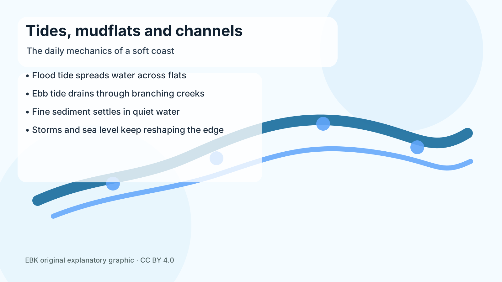
The daily mechanism is simple to watch and hard to finish mapping. Flood tide spreads water over the flats, slowing as it reaches sheltered basins. Fine sediment settles where currents weaken. Ebb tide drains the water back through branching creeks, carving channels that shift after storms. Salt-marsh plants trap more sediment along higher edges, gradually raising some surfaces, while waves and storm surges cut others back. The result is not a fixed shore but a living negotiation among water, wind, sand, mud and plants.
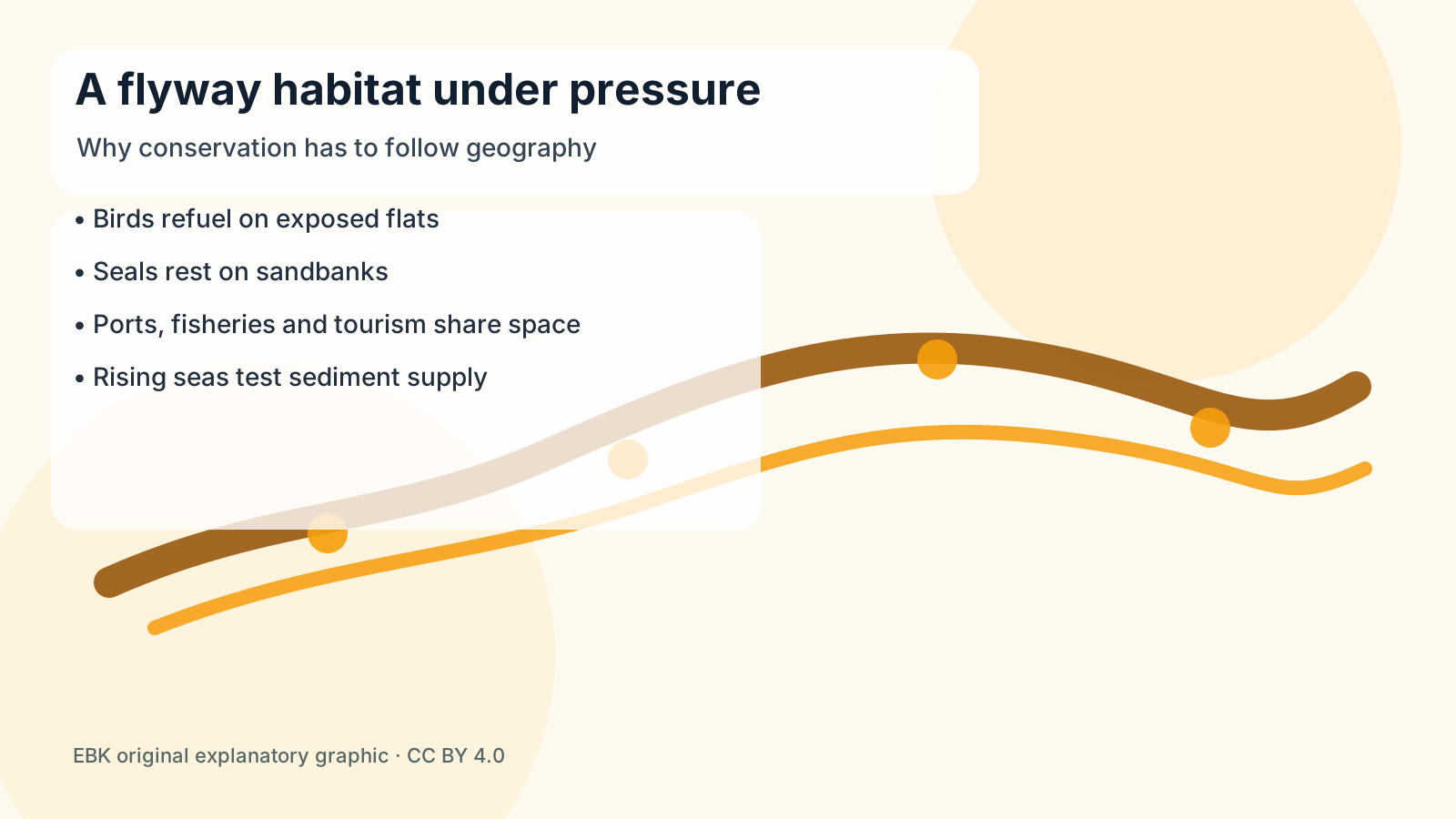
Life uses that rhythm. When the flats are exposed, worms, shellfish and small crustaceans become food for enormous numbers of migrating birds on the East Atlantic Flyway. Harbour seals and grey seals rest on sandbanks. Young fish use shallow waters as nursery grounds. The same mud that looks empty from a distance is packed with organisms that turn sediment, recycle nutrients and feed animals travelling between the Arctic, Europe and West Africa.
That is why maps of the Wadden Sea age quickly. A navigation chart, a habitat survey and a bird count each capture a different moment in a restless system. Managers need all three kinds of evidence: the physical shape of channels, the biological use of exposed flats and the human routes that cross them. The geography is measured not only in kilometres, but also in tide tables and seasons.
The Wadden Sea is also a human geography. Ports, ferries, fishing, tourism, dikes and nearby farms all share space with protected habitats. Three countries coordinate management, but the system still faces pressure from sea-level rise, invasive species, shipping, extraction history and disturbance of birds and seals. A key question is whether sediment can keep pace as the sea rises. If the flats cannot build upward fast enough, the intertidal zone that makes the place special could narrow.
That uncertainty is why the Wadden Sea is more than a pretty coastal view. It is a working lesson in resilience with limits. Protecting it means allowing enough room, sediment and quiet for a moving landscape to keep moving. Each tide rewrites the surface, but the larger achievement is continuity: a coast that changes every hour and still remains recognizable as one of Earth’s great living edges.